

Every design for Vellinge
Wear your town with pride
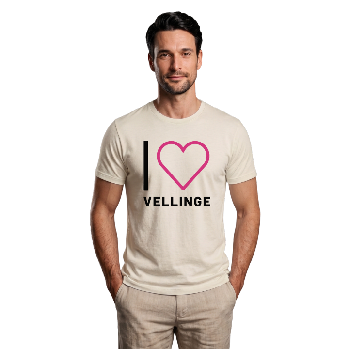
13 unique designs from the town of Vellinge in Skåne County – map designs, local expressions and symbols only people who know the place will read.




About Vellinge
Söderslätt
The Klockaredösen dolmen
Vellinge church
On the fertile Söderslätt, with the E6/E22 running past between Malmö and Trelleborg, lies Vellinge – the main town of the municipality that shares its name. The place has deep roots and a history you notice in the landscape: the northern part belongs to Eskilstorp parish with its Eskilstorp church, while the central and southern parts form the church village of Vellinge parish around Vellinge church. Two churches, two parishes, one town.
The Klockaredösen dolmen bears witness that people moved through and settled here long before the age of the churches – a quiet reminder of an inheritance reaching back into prehistory. Torsgården and the green Gästisparken are among the places that give the town its character, where daily life and history meet. The junctions Vellinge Norra, Vellinge Södra and Vellinge Ängar tie the modern town to the surrounding plain.
Older spellings such as Hvellinge and Vällinge hint at how the name has travelled through the centuries. On the map design you can follow the roads across Söderslätt and recognise the church villages – a small piece of Skåne soil to carry with you, wherever you are.
Shown on the map
Location: Skåne County, Sweden
Coordinates: 55.4709°N, 13.0199°E
