

Every design for Ulricehamn
Wear your town with pride
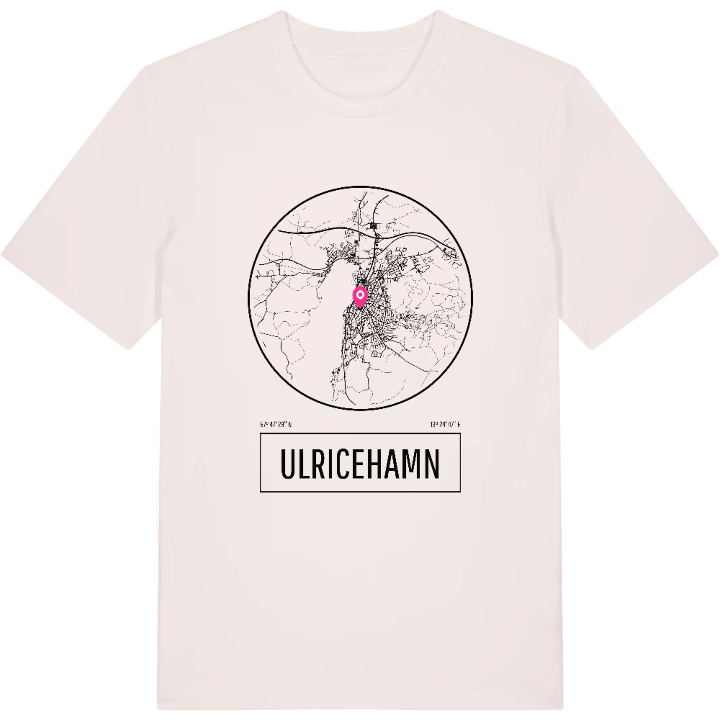
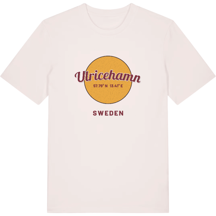
13 unique designs from the town of Ulricehamn in Västra Götaland County – map designs, local expressions and symbols only people who know the place will read.





About Ulricehamn
Lake Åsunden
The Sten Sture monument
The river Ätran
Where the river Ätran runs out into lake Åsunden lies Ulricehamn, spread across the slopes around the water. The town in Västergötland carries history in its name - it was formerly called Bogesund - and is today the main town of Ulricehamn municipality. Its position between Borås to the west and Jönköping to the east has always made the district a place you pass through, but just as readily stay in.
The Sten Sture monument is a reminder that the district has deep roots, while the inlets along Åsunden - Stora Ekeredsviken and Kråkeboviken - are among the things that make the town precisely what it is. For anyone with Ulricehamn in their heart it is often about the water: the lake glinting below the slopes and setting the tone for the whole town. That very picture finds room across the chest.
Shown on the map
Location: Västra Götaland County, Sweden
Coordinates: 57.7914°N, 13.4130°E
