

Every design for Strömsund
Wear your town with pride
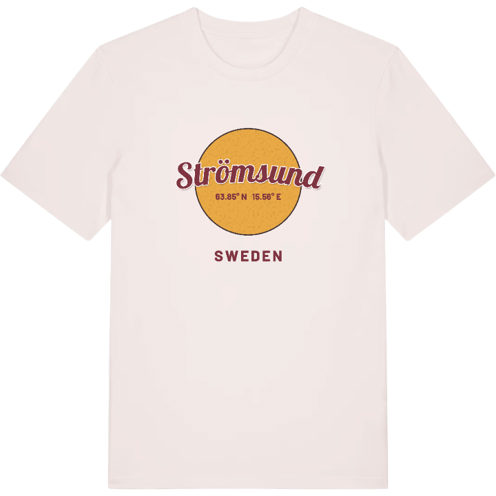
13 unique designs from the town of Strömsund in Jämtland County – map designs, local expressions and symbols only people who know the place will read.







About Strömsund
Ströms Vattudal
The Strömsund bridge
A church village with long roots
The Strömsund bridge reaches across Ströms Vattudal and carries European route 45 straight into the town – one of the clearest symbols of Strömsund and a landmark you pick out with the eye from a distance. Here, by Russfjärden, an old church village grew up in Ström parish, and the name carries traces all the way to the South Sámi Straejmie.
Strömsund lies in northern Jämtland, on Ströms Vattudal, which counts among the country's largest lakes, and serves as the main town of Strömsund municipality. Around the town the many small tarns lie scattered – Hamptjärnen, Blektjärnen, Djuptjärnen and Sundtjärnen – names that mostly mean something to anyone who really knows the district.
The inheritance is kept alive by the Ström heritage association, which tends the memory of the municipal community and life around the lake valley. Perhaps it is exactly that mixture of water, history and quiet Jämtland that makes you want Strömsund's map across your chest – with Ströms Vattudal and the bridge in the middle, as a reminder of where you belong. The map t-shirt with Strömsund suits anyone who knows the district from the inside.
Shown on the map
Location: Jämtland County, Sweden
Coordinates: 63.8517°N, 15.5582°E
