

Every design for Strömstad
Wear your town with pride
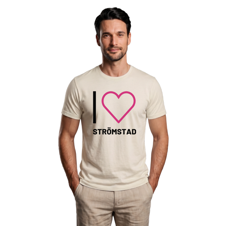
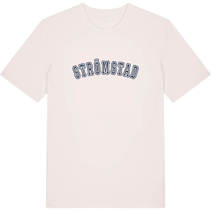
13 unique designs from the town of Strömstad in Västra Götaland County – map designs, local expressions and symbols only people who know the place will read.





About Strömstad
Sweden's westernmost town
Skagerack
The Norwegian border
At the Fiskartorpet open-air museum a piece of living coastal life opens up, where old buildings bear witness to how people lived and worked in northern Bohuslän. Here, in Sweden's westernmost town, the Skagerrak meets an inheritance reaching far back. Strömstad museum preserves the stories, and the author Emilie Flygare-Carlén is among those who put the place on the map.
Strömstad lies handsomely by the sea with the national border to Norway only a short way north and east. It is a town marked by its border position, by fishing and by seafaring, where the E6 brings you all the way and the sea is always around the corner.
For anyone with roots or memories here the map is more than lines on fabric – it is a way back to rocks, harbour and salt air. A small piece of Strömstad to carry with you, however far from home you are.
Shown on the map
Location: Västra Götaland County, Sweden
Coordinates: 58.9378°N, 11.1736°E
