

Every design for Storlien
Small village, big feelings
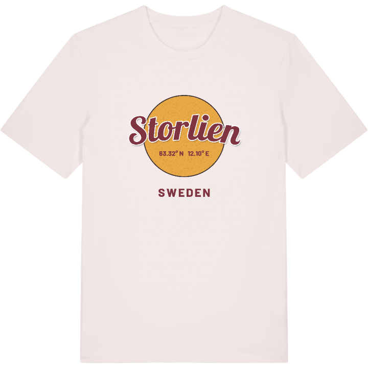
13 unique designs from the village of Storlien in Jämtland County – map designs, local expressions and symbols only people who know the place will read.






About Storlien
Alpine skiing
The royal family's mountain house
The Norwegian border
Around the still waters of Norder-Sandtjärnen and Sönner-Sandtjärnen the mountain landscape spreads out, and it is exactly this kind of nature that makes Storlien what it is. The village lies in western Jämtland, a stone's throw from the border with Norway, and almost everything here revolves around life outdoors – alpine skiing, cross-country trails, snowmobiling, hunting, fishing and long walks among the tarns.
Over the years Storlien has drawn people from both sides of the border. Many of the visitors are Norwegians, and cross-border shopping has become a natural part of everyday life. The Swedish royal family has found its way here too and likes to celebrate Easter and New Year in its house in the village. There was once a sanatorium here run by Ernst Westerlund, the doctor from Enköping, and the E14 still passes on the outskirts today, where the customs post marks where Sweden ends.
There is a particular bond with a place like Stallsjön – a water you return to, season after season. For anyone who knows Storlien in their legs and misses the mountains between trips, the map becomes a way of keeping that sense of home with them, wherever they happen to be.
Shown on the map
Location: Jämtland County, Sweden
Coordinates: 63.3166°N, 12.1007°E
