

Every design for Skanör
The neighbourhood that stayed with you
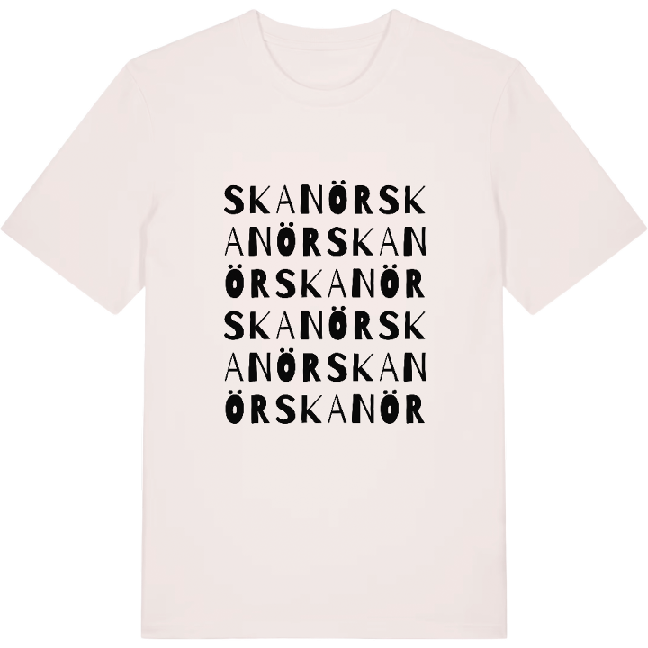
13 unique designs from the suburb of Skanör in Skåne County – map designs, local expressions and symbols only people who know the place will read.




About Skanör
Medieval herring fishery
Skanör castle
The beaches of the Falsterbo peninsula
At the far end of the Falsterbo peninsula, where Skåne narrows towards the sea and the sand takes over, lies Skanör. Together with its twin town Falsterbo it forms one built-up area, but the two have always been two – separated by the long seaweed bank that runs between them. North of the bank, Skanör begins. Both towns rose out of the flourishing herring fishery of the Middle Ages and long kept their own town charters before they were united.
There is something about the air out here, between sea and sky, that stays in the memory. At Skanörs borg you sense the weight of the old trading post, and at Axelssons torg everyday life and summer guests meet. If you want the open landscape there is Skanörs södra stadspark and the wide sandbank by the naturist beach at Norra revet, where bathers wade out into the water.
The town was born of the sea and still lives with it. That very feeling – the peninsula, the beach, the castle ruin against the light – comes along on the shirt with the map of Skanör.
Shown on the map
Location: Skåne County, Sweden
Coordinates: 55.4146°N, 12.8518°E
