

Every design for Oxelösund
Wear your town with pride
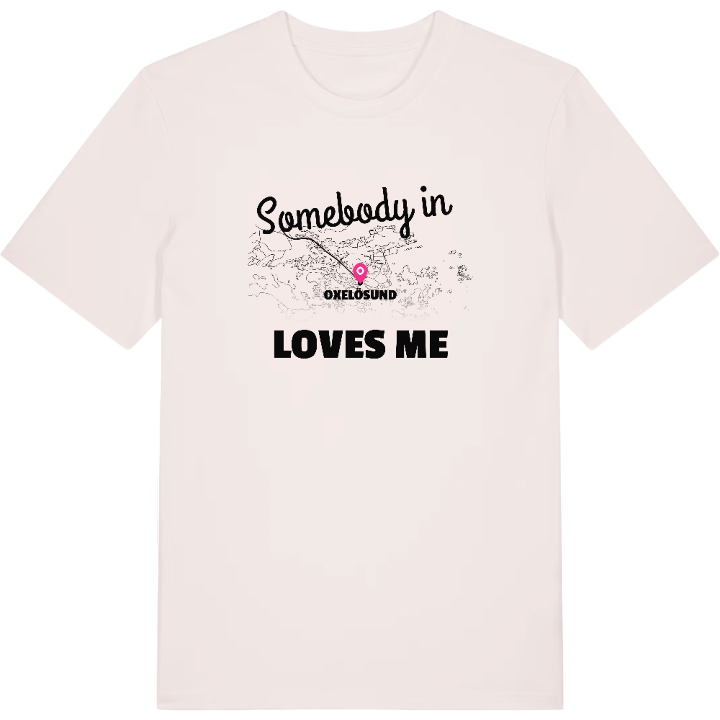
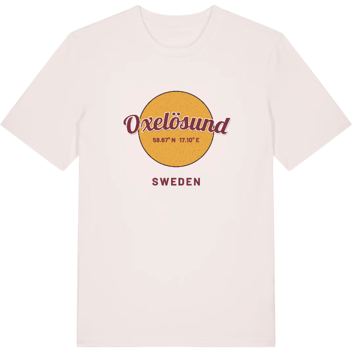
13 unique designs from the town of Oxelösund in Södermanland County – map designs, local expressions and symbols only people who know the place will read.





About Oxelösund
SSAB's ironworks
Archipelago on the Baltic
Femörefortet
The guns at the Femöre fort speak of another time, but the eye is still drawn to the same thing as always: the sea. Oxelösund lies furthest south of Svealand's main towns, a small town on the Baltic where a full 85 per cent of the municipal boundary meets water and the archipelago spreads out in every direction.
Daily life here is marked by SSAB's ironworks and the nearness of both Nyköping and the coast. An afternoon at Badhusviken, a look past the radar station on Femöre, a walk where the forest ends and the archipelago begins – those are the things that stay. The little town with the great assets, as the place gladly calls itself, remains in the memory long after you have travelled on.
You who have Oxelösund in you recognise every inlet on the map. Perhaps you grew up with the sea wind, perhaps you found your way here later – either way, here is a shirt with the map of the town between the ironworks and the Baltic. Wear it with pride.
Shown on the map
Location: Södermanland County, Sweden
Coordinates: 58.6700°N, 17.1041°E
