

Every design for Nordmaling
Wear your town with pride
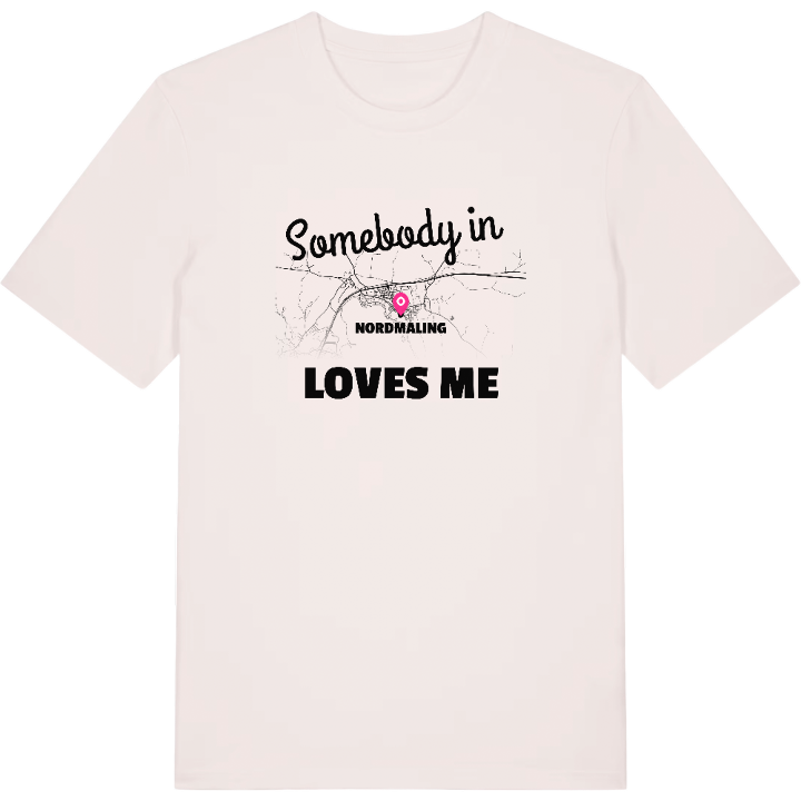
13 unique designs from the town of Nordmaling in Västerbotten County – map designs, local expressions and symbols only people who know the place will read.






About Nordmaling
Olofsfors works
Nordmalingsfjärden
The Nolaskog area
Halfway between Örnsköldsvik and Umeå, beside Nordmalingsfjärden out in the Bothnian Sea, lies Nordmaling. The town belongs to the Nolaskog area of north-eastern Ångermanland and is the main town of its municipality, which counts as part of Västerbotten County. Coast and forest meet here in a daily life that rolls along at its own pace.
All around are traces of what shaped the district. Olofsfors bruk bears witness to the work of older times, while the Klas Engman museum and the Nordmaling heritage museum keep the memories alive. If you want to get out into the green there are Kungsstenen and Kallkällberget, and down by the water Rödviken waits.
It is in such names that a childhood settles – the path up towards the hill, the smell from the bay, afternoons at the inlet. The map of Nordmaling picks out exactly those places, for anyone who has carried them wherever they ended up.
Shown on the map
Location: Västerbotten County, Sweden
Coordinates: 63.5697°N, 19.4999°E
