

Every design for Kungsängen
Wear your town with pride
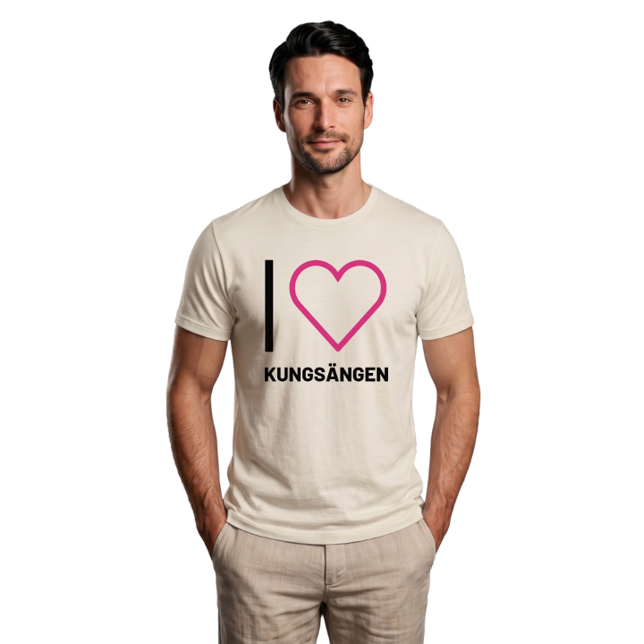
13 unique designs from the town of Kungsängen in Stockholm County – map designs, local expressions and symbols only people who know the place will read.






About Kungsängen
Mälaren
Almarestäket castle
Heritage farm
South-west of the E18, some thirty kilometres north-west of Stockholm, lies Kungsängen beside the water of Mälaren. The town is the main town of Upplands-Bro municipality and part of Uppland, and anyone moving through soon feels that the landscape carries layers of history. Mälaren has always shaped life here, and to this day the nearness of the water is among the first things you notice.
The traces of older times remain for anyone who looks. The ruin of Almarestäket castle speaks of a time when a position by the water had strategic weight, while the Kungsängen heritage farm gathers the district's memories and carries them onward. A small road museum tells of how people travelled through the district. Together these places give Kungsängen a character of its own, not to be confused with any other.
Finding your own town drawn on a piece of cloth does something to the feeling for home. The roads you cycled, the shore you walked along, the names you grew up with - it is all there in the lines of the map. For anyone with roots in Kungsängen it becomes a small reminder of where you belong.
Shown on the map
Location: Stockholm County, Sweden
Coordinates: 59.4786°N, 17.7509°E
