

Every design for Kristinehamn
Wear your town with pride
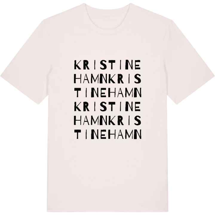
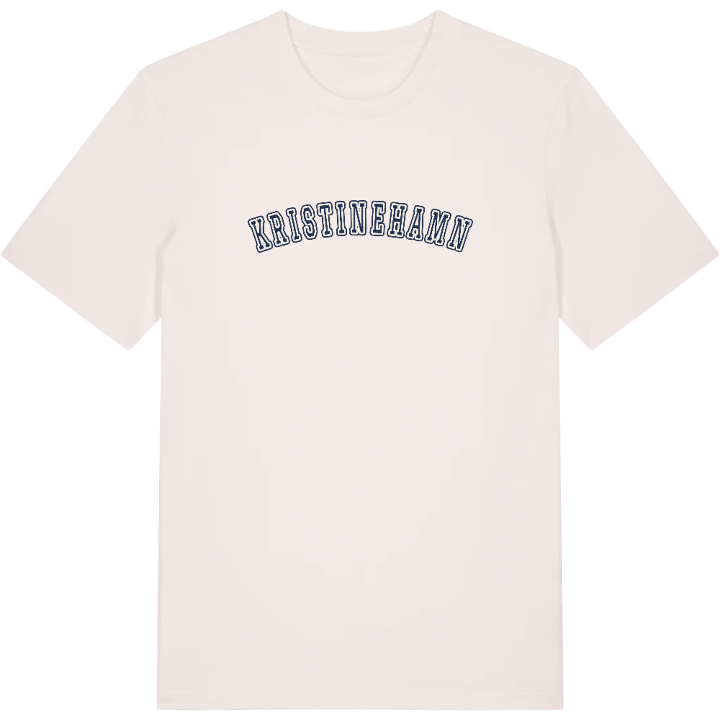
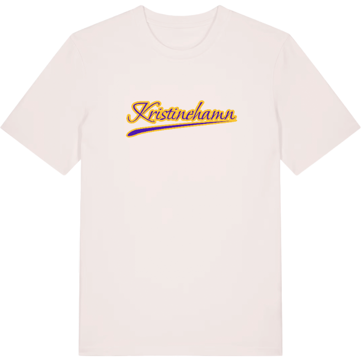
13 unique designs from the town of Kristinehamn in Värmland County – map designs, local expressions and symbols only people who know the place will read.




About Kristinehamn
A harbour town on Vänern
Iron shipped out from Bergslagen
Kristinehamn art museum
On the shore of Vänern, where the rivers Varnan and Lötälven flow together and out into Varnumsviken, lies Kristinehamn. The town belongs to eastern Värmland, with Karlstad to the west and Karlskoga to the east, and is the county's second largest urban area. The water has always been part of everyday life here, and the map shows clearly how the town grew up between rivers and bay.
For anyone who knows Kristinehamn, the place stirs memories of an old iron harbour connected to Bergslagen. Bar iron and pig iron were shipped out to the world from here, and at the Vågmästaregården the international price of iron was once set. Today the town moves at a calmer pace, with Kristinehamn art museum and the historic heritage farm as fixed points.
Follow the map lines and you soon come to Presterud manor and the old soldiers' crofts on the outskirts. The map t-shirt of Kristinehamn draws exactly the roads and meetings of water that make the town its own – a small piece of Värmland to carry with you.
Shown on the map
Location: Värmland County, Sweden
Coordinates: 59.3114°N, 14.1118°E
