

Every design for Kramfors
Wear your town with pride
13 unique designs from the town of Kramfors in Västernorrland County – map designs, local expressions and symbols only people who know the place will read.








About Kramfors
Sawmill industry
Ådalen
The High Coast
On the western bank of the Ångermanälven, where the Ådalen valley opens out and the Ådal line cuts through the landscape, lies Kramfors. The town grew up in the shadow of the great sawmill industry that marked Ångermanland in the later half of the 1800s, and became a town in an age of modernisation. From here it is not far to the High Coast, the most dramatically broken stretch of the Swedish coastline.
For many, Kramfors is the place where the forest meets the river and the hills rise around the corner. The Gudmundrå church ruin carries traces of older times, and names such as Prästberget, Bjässberget and Ingesberget belong in the Ångermanland vocabulary. Down by the water lies Gumåsviken, and inland Rudtjärnen glimmers between the pines.
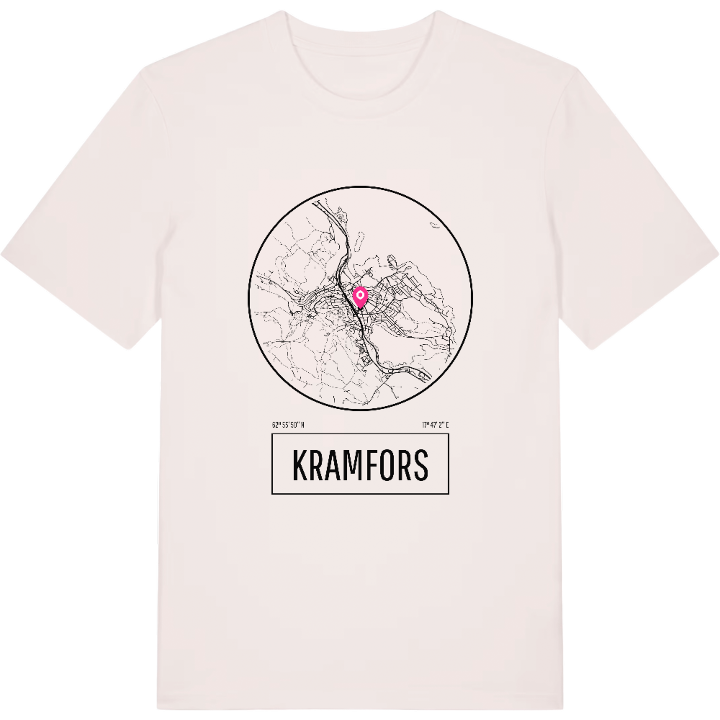
It is this geography – the river bank, the hills and the borderland towards the High Coast – that has been drawn on the shirt. A small tribute to a town with industrial history in its marrow and Ådalen all around.
Shown on the map
Location: Västernorrland County, Sweden
Coordinates: 62.9306°N, 17.7840°E
