

Every design for Funäsdalen
Small village, big feelings
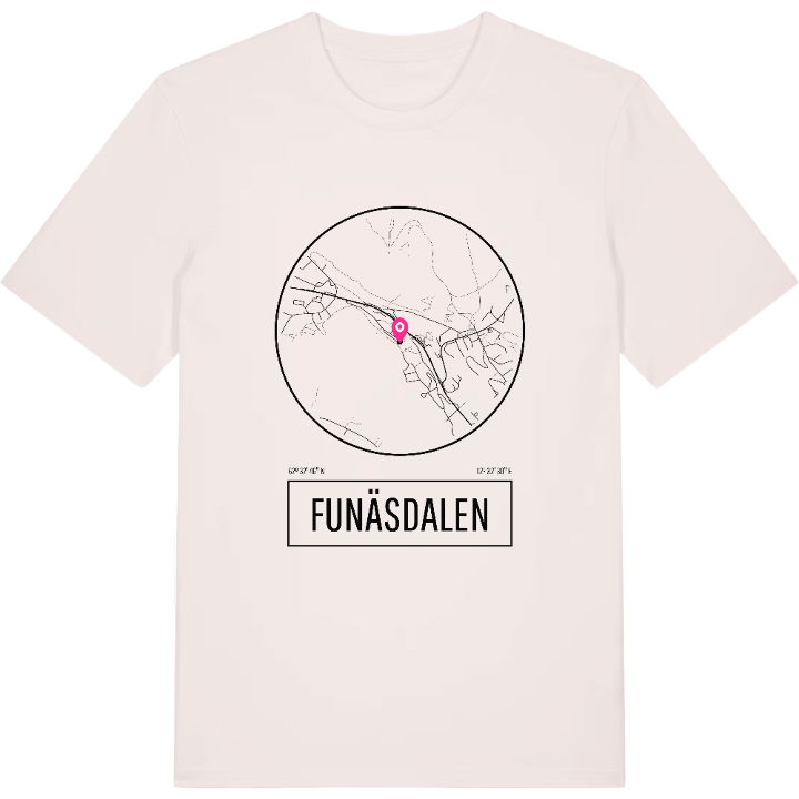
13 unique designs from the village of Funäsdalen in Jämtland County – map designs, local expressions and symbols only people who know the place will read.




About Funäsdalen
Funäsfjällen
Mountain village
South Sami heritage
Far out in western Härjedalen, right up against the Norwegian border and Røros, lies Funäsdalen. The village is the main town of Funäsfjällen – a visitor area that ties together Ramundberget, Tänndalen, Tännäskröket, Kappruet and Fjällnäs. Here Swedish mountain culture meets the South Sami heritage; in South Sami the place is called Bïenjedaelie, a name that carries traces of generations who have lived and worked in the mountain world.
Above the village rises Funäsdalsberget, and in the landscape places such as Röstberget and Elliseum are etched into the local story. It is a district where history sits in the slopes and in the roads that wind between the mountains, a place shaped by both reindeer herding and cross-border trade.
If you wear this map of Funäsdalen you also carry a piece of that mountain heritage with you – whether you have roots in Härjedalen or simply long to be back in the mountains. Wear it as a quiet greeting to a place that means something.
Shown on the map
Location: Jämtland County, Sweden
Coordinates: 62.5462°N, 12.5418°E
