

Every design for Fagersta
Wear your town with pride
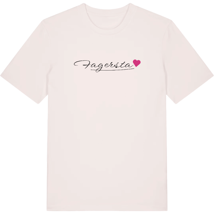
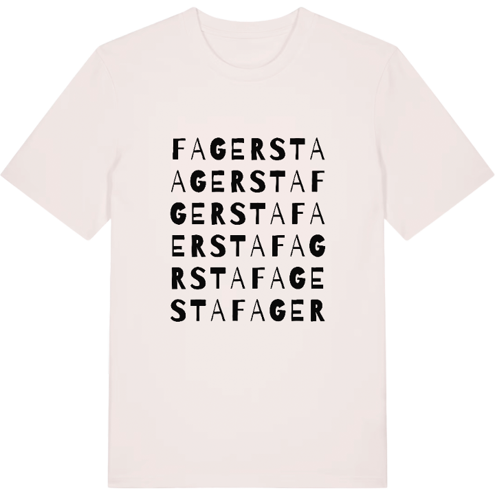
13 unique designs from the town of Fagersta in Västmanland County – map designs, local expressions and symbols only people who know the place will read.







About Fagersta
Works community
Industrial town
Railway junction
Some seventy kilometres north-west of Västerås lies Fagersta, embedded in the forest landscape of Västmanland and crossed by national roads 66 and 68. At Fagersta C station in the Västanfors district several lines meet, among them the route between Ludvika and Västerås.
This is a town shaped by iron. Fagersta grew up as a thoroughgoing works community, and to this day its business life is marked by companies with roots in the old Fagersta Bruks AB. The inheritance is plain to see at the Västanfors heritage farm, where the works' story is kept.
All around rise heights such as Krattberget and Norra Jättåsen, and from Utsikten the district spreads out before anyone who climbs up. It is that view that catches something of why a Fagersta native carries their home town with them - the map becomes a reminder of the ground where the industrial heritage still lives.
Shown on the map
Location: Västmanland County, Sweden
Coordinates: 60.0039°N, 15.7906°E
