

Every design for Bräcke
Wear your town with pride
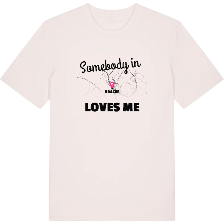
13 unique designs from the town of Bräcke in Jämtland County – map designs, local expressions and symbols only people who know the place will read.





About Bräcke
Revsundssjön
The Mittbanan and the Main Line
S:t Olavsleden
On the shore of Revsundssjön lies Bräcke, the main town of Bräcke municipality and the church village of the Jämtland parish that gave the community its name. Its position south-east of Östersund has always been about the railway: the Mittbanan runs through here, and it is also from here that the Main Line through Upper Norrland strikes north. Two tracks parting company make Bräcke more than a point on the map.
It is the surrounding landscape that marks the town. The E14 and the old pilgrim route S:t Olavsleden pass straight through, and around the houses forests and water spread out. Close to the community you find small waters such as Knapphålstjärnen and Långtjärn, quiet mirrors between the pines where time seems to slow.
Bromyradammen is one of those places that stays with anyone who has lived here – a water to walk past, fish at or simply stop beside early in the morning. Having the map of Bräcke on a shirt becomes a way of taking exactly that feeling with you: the lake, the tracks and the still tarns. For anyone who grew up among the inlets of Revsundssjön or came to know the town over the years, a shirt with the map of Bräcke is a reminder of home wherever you are.
Shown on the map
Location: Jämtland County, Sweden
Coordinates: 62.7521°N, 15.4199°E
