

Every design for Bålsta
Wear your town with pride
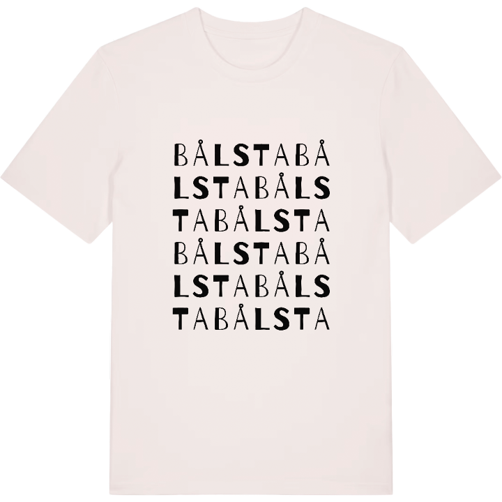
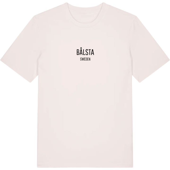
13 unique designs from the town of Bålsta in Uppsala County – map designs, local expressions and symbols only people who know the place will read.






About Bålsta
Close to Mälaren
Main town of Håbo
The Mälarbanan
Halfway between Uppsala and Stockholm, a little south of both, Bålsta lies wrapped in the Uppland landscape close to Mälaren. The town is the main town of Håbo municipality and has grown up along the E18 and the Mälarbanan railway, with the water never very far away. Its position means many people pass through - but anyone who stops finds a place with a character of its own.
All around rise heights such as Rasberget and Tallberget, while artworks and names like Brinnande Väktare, Förr och nu and Wasa II leave their own marks on the surroundings. It is a mixture of nature, commuter pulse and small details that together become Bålsta.
Parts of the town belong to Kalmar parish, the rest to Yttergran, and that history shows in the boundaries on the map. Perhaps it is exactly that feeling - the heights, the railway running past and the nearness of Mälaren - that makes a map of Bålsta feel like more than lines on fabric.
Shown on the map
Location: Uppsala County, Sweden
Coordinates: 59.5682°N, 17.5294°E
