

Every design for Arvika
Wear your town with pride
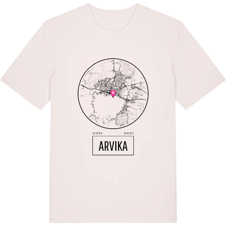
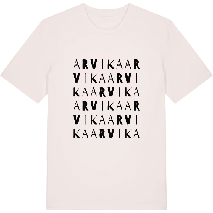
13 unique designs from the town of Arvika in Värmland County – map designs, local expressions and symbols only people who know the place will read.






About Arvika
Glafsfjorden
The Rackstad Museum
The red brick station building
By the water where Glafsfjorden opens towards Vänern lies Arvika, the main town of western Värmland with a history still visible in its streets. The red brick station building from 1871 speaks of the days when the railway tied Värmland to Oslo, and the cultural heritage lives on in places such as the Rackstadmuseet.
Around the Sågudden heritage farm stand buildings such as Storbondegården, the Forest Finn smoke cabin and Troll-Mattes forge, while the Arvika Fordonsmuseum preserves another side of the story. Together they draw the picture of a town where old craft and the Värmland countryside meet.
You who wear this map of Arvika – perhaps you grew up here, perhaps you found your way and stayed. Either way, you take the streets by Glafsfjorden with you wherever you go. Warm greetings from western Värmland.
Shown on the map
Location: Värmland County, Sweden
Coordinates: 59.6544°N, 12.5916°E
