

Every design for Arlöv
Wear your town with pride
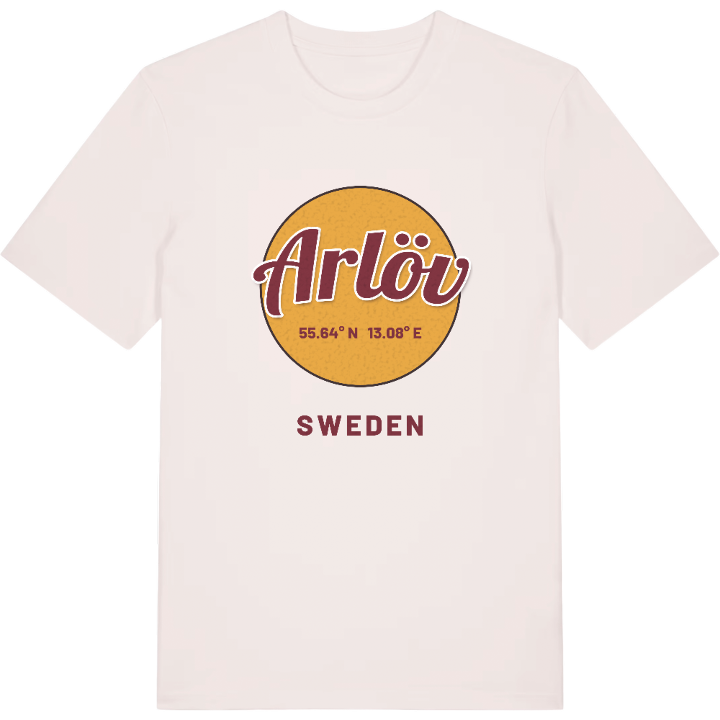
13 unique designs from the town of Arlöv in Skåne County – map designs, local expressions and symbols only people who know the place will read.


About Arlöv
The sugar refinery
Burlöv Center
Alnarpsparken
Arlöv is the main town of Burlöv municipality and at the same time part of the Malmö urban area, a place where the old buildings of the sugar refinery still set the tone in the central blocks. The town began to take off as an industrial community at the end of the 19th century, and it shows to this day in its particular mixture of low residential streets and tall housing and industrial estates.
The Southern Main Line cuts straight through the community and splits it in two. To the north lie Burlöv station together with Burlöv Center and the Arlöv industrial village. All around, a landscape opens out that few expect: Alnarps slott and the leafy Alnarpsparken, and further out the coastline at Lommabukten with the Södra Lommabukten nature reserve and the Öresundsparken nature reserve.
It is exactly that contrast — brick and water, main line and shore meadow — that makes Arlöv worth wearing. A map with Lommabukten at its edge becomes a small reminder of walks along the coast for everyone who calls this part of Skåne home.
Shown on the map
Location: Skåne County, Sweden
Coordinates: 55.6378°N, 13.0778°E
