

Every design for Älta
Wear your town with pride
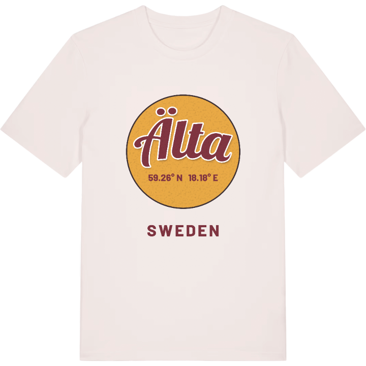
13 unique designs from the town of Älta in Stockholm County – map designs, local expressions and symbols only people who know the place will read.






About Älta
Sjöängsbadet
Fikahöjden
Ancient burial grounds
Do you recognise yourself in the green wedge between Stockholm and Nacka, where the forest tracks lead down towards the water? Then you know what Älta is. The town lies in the south-western part of Nacka municipality and was long a place of its own, until in 2015 it grew together with the Stockholm urban area and became part of the larger cityscape.
For many, Älta stirs memories of summer days at Sjöängsbadet, of the view from Fikahöjden and of walks up towards Strålsjöberget. There are traces here far older than that too — the burial grounds are a reminder that people lived and worked in the district long before our own day. It is a place that carries both the everyday and its history without making a fuss about either.
To you who have this map imprinted on your memory: may it remind you where you belong, wherever you happen to be right now. Take Älta out into the world.
Shown on the map
Location: Stockholm County, Sweden
Coordinates: 59.2574°N, 18.1812°E
