

Every design for Zeewolde
Wear your town with pride
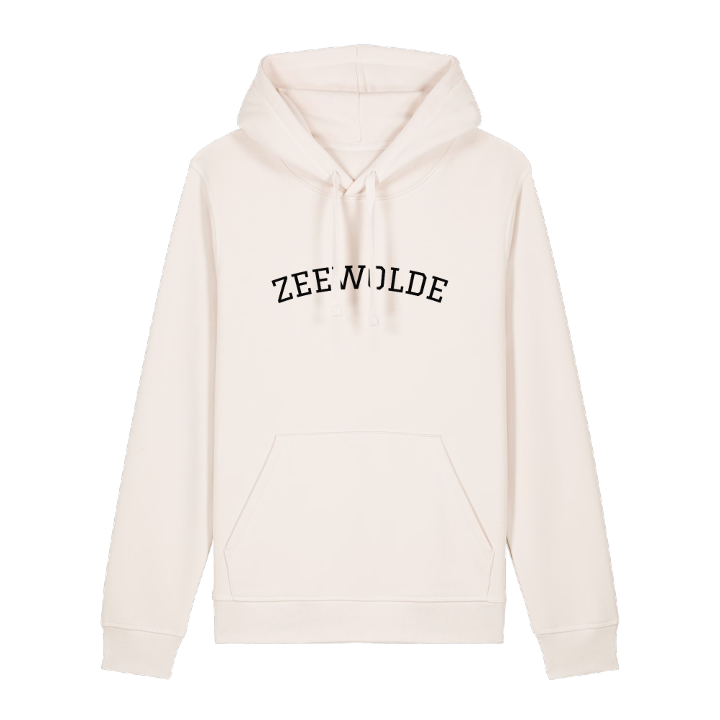
13 unique designs from the town of Zeewolde in Flevoland – map designs, local expressions and symbols only people who know the place will read. Also available as t-shirt, hoodie or tote bag.
T-shirt
from 249 SEK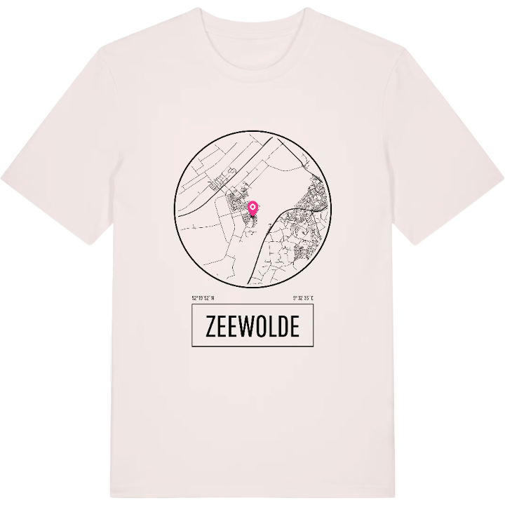


Hoodie
from 499 SEK


Tote bag
from 129 SEK


About Zeewolde
Landscape art
Horsterwold forest
Polder pioneers
Zeewolde stands on the floor of a former sea: the southern part of Flevoland, among the last polder land to be drained, in the 1960s. Its first residents, the so-called pioneers, came over from the 'old land' to farms that at first had neither electricity nor tap water, and the village was planned around them.
That sense of newness has never quite worn off, and it is part of the charm. The Wolderwijd lies to the east, with Harderwijk on its far shore, and to the south grows the Horsterwold, a young broadleaf forest on rich clay. Beaches such as the Woldstrand and the Lanterstrand line the water, while the land to the west is mostly farmland. The town has a name for landscape art, too: Richard Serra's Sea Level lies in the De Wetering park, and De Verbeelding adds to the collection.
Look at the town flag and you see the whole place in three colours: blue for the water, green for the woods, yellow for the grain.
Shown on the map
Location: Flevoland, Netherlands
Coordinates: 52.3311°N, 5.5430°E
