

Every design for Ząbki
Wear your town with pride
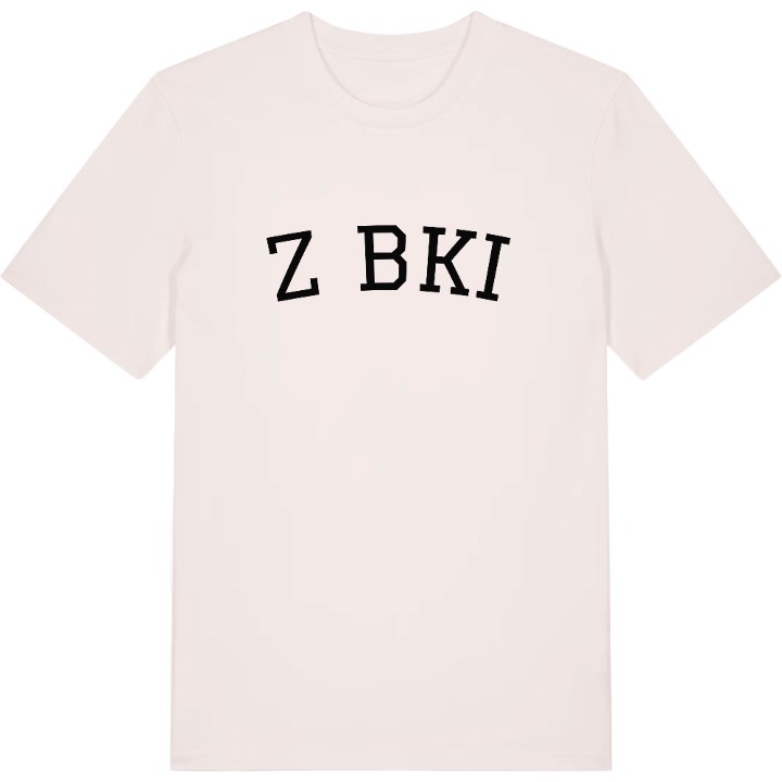
13 unique designs from the town of Ząbki in Województwo Mazowieckie – map designs, local expressions and symbols only people who know the place will read. Also available as t-shirt, hoodie or tote bag.
T-shirt
from 249 SEK


Hoodie
from 499 SEK


Tote bag
from 129 SEK


About Ząbki
garden-city plan
Drewnica hospital
Popiełuszko's first parish
Pomnik Błogosławionego Księdza Jerzego Popiełuszki stands in Ząbki, the town where Jerzy Popiełuszko first served as a young priest. It is a fitting starting point for a place whose identity has been shaped by people as much as by its location, just north-east of Warsaw, bordering the capital to the south and west, Marki to the north and Zielonka to the east.
Pomnik Karola Rychlińskiego honours the first director of the psychiatric hospital in Drewnica, which he ran for three decades and which still operates today. In the interwar years brick villas went up for generals Władysław Sikorski and Kazimierz Sosnkowski as part of a garden-city plan that was only partly carried out, and Willa Arkada is among the houses worth finding on the map. Ząbki began as Wola Ząbkowa, a royal village on sandy, marshy ground, and later grew around brickworks and a narrow-gauge line towards Bródno. In the summer of the Battle of Warsaw, Polish units gathered here. Brama Niepodległości and Pomnik Prymasa Tysiąclecia stand in town today, and the local football club, Ząbkovia Ząbki, carries the name onto the pitch.
For anyone who grew up here, the map holds the walk to the station, the train to Warszawa Wileńska and the short way home.
Shown on the map
Location: Województwo Mazowieckie, Poland
Coordinates: 52.2935°N, 21.1157°E
