

Every design for Wodzisław Śląski
Wear your town with pride
13 unique designs from the town of Wodzisław Śląski in Województwo Śląskie – map designs, local expressions and symbols only people who know the place will read. Also available as t-shirt, hoodie or tote bag.
T-shirt
from 249 SEK

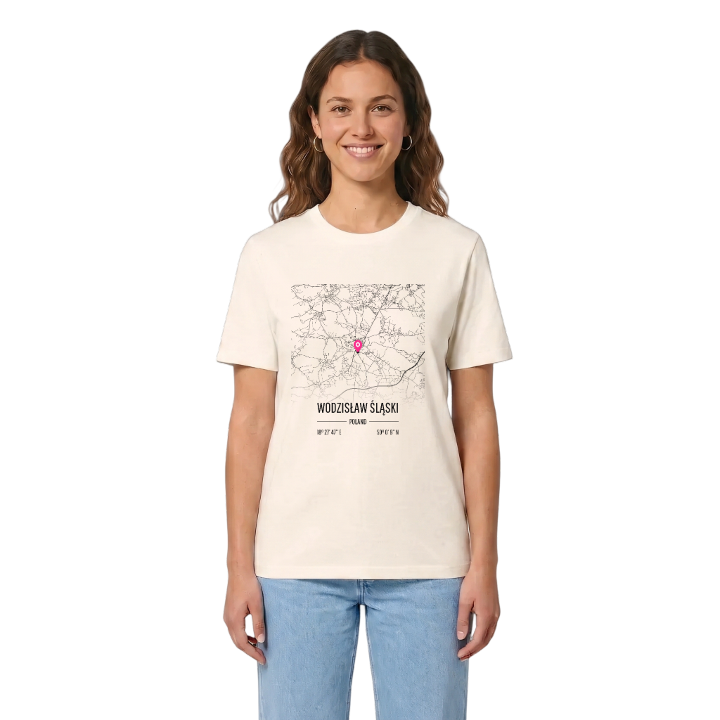


Hoodie
from 499 SEK


Tote bag
from 129 SEK


About Wodzisław Śląski
Piast foundation
hilltop town
Moravian Gate climate
Wodzisław Śląski takes its name from the Piast Duke Władysław of Opole, who granted the town its rights and founded its monastery in the thirteenth century. Three Slavic settlements had stood here before that and grew together into one town, which under Duchess Constance became one of the most populous and richest in Upper Silesia. Later it was the seat of the Duchy and the State of Wodzisław, and in the second half of the twentieth century a mining and industrial centre.
The town lies on the Rybnik Plateau, between the Vistula and the Oder, close to the Czech border and the Moravian Gate, whose winds shape its mild climate. It is built across several hills cut by deep ravines, with the Lesznica flowing below, and on a clear day the Beskids and the Czech Jeseniki come into view. Pałac Dietrichsteinów wraz z Parkiem Zamkowym, Baszta Rycerska and Wieża Romantyczna hold the old town's memory, and the Muzeum w Wodzisławiu Śląskim tells the rest.
For anyone who grew up here, the map is the climb between the hills and the streets you took to school.
Shown on the map
Location: Województwo Śląskie, Poland
Coordinates: 50.0024°N, 18.4630°E
