

Every design for Witten
Wear your town with pride
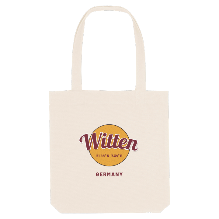
13 unique designs from the town of Witten in Nordrhein-Westfalen – map designs, local expressions and symbols only people who know the place will read. Also available as t-shirt, hoodie or tote bag.
T-shirt
from 249 SEK


Hoodie
from 499 SEK




Tote bag
from 129 SEK




About Witten
Mining heritage
Ruhr valley
Kemnader See
From the Helenenturm, high above the town, Witten spreads out below: the Ruhr in its deep valley, the dammed Kemnader See and the wooded Ardey hills rising on both sides of the river. Witten lies in the south-east of the Ruhr area, between Dortmund, Bochum and Hagen, where the river cuts through a sandstone plateau on its way west.
The LWL-Industriemuseum Zeche Nachtigall tells the story that made the town. Coal mining here goes back centuries, Witten was a mining town long before the big industrial age, and in the Muttental the coal-bearing layers still come to the surface along a mining trail that passes the Bethaus der Bergleute. Haus Witten and the Märkisches Museum keep the older history close. Today life runs at a gentler pace: walkers on the valley paths, cyclists along the river and families by the lake at the weekend, a short ride from some of the biggest cities in the region.
A Witten childhood leaves its own routes on the map: down to the Ruhr, along the lake shore and up through the woods to a tower with a view over everything.
Shown on the map
Location: Nordrhein-Westfalen, Germany
Coordinates: 51.4370°N, 7.3351°E
