

Every design for Wilhelmshaven
Wear your town with pride
13 unique designs from the town of Wilhelmshaven in Niedersachsen – map designs, local expressions and symbols only people who know the place will read. Also available as t-shirt, hoodie or tote bag.
T-shirt
from 249 SEK


Hoodie
from 499 SEK


Tote bag
from 129 SEK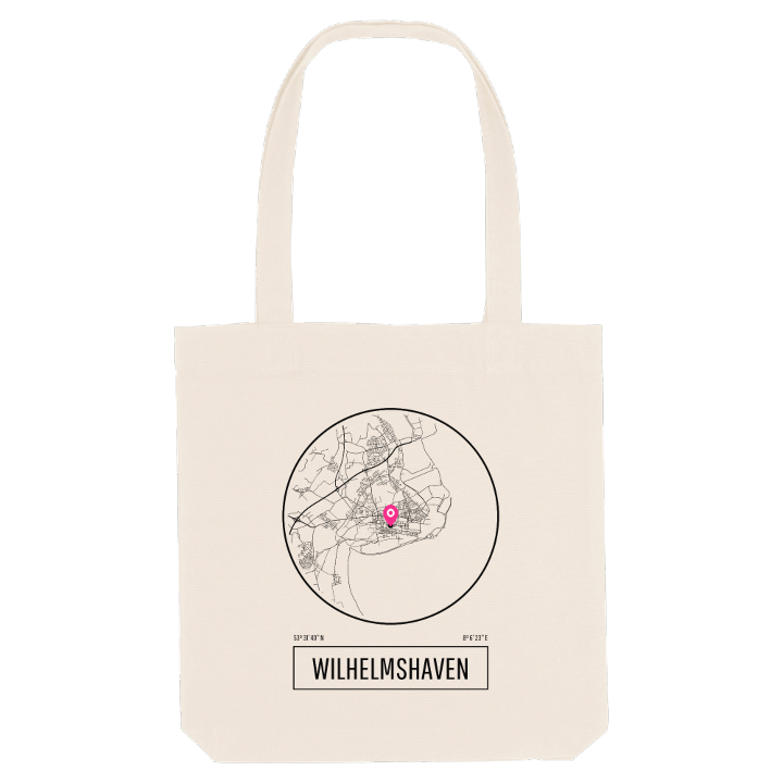


About Wilhelmshaven
Naval port
Deepwater harbour
Wadden Sea
Wilhelmshaven sits on the western shore of the Jade Bight, a broad bay of the North Sea, on flat marshland that lies on average only two metres above the water. Dykes run along the whole town, and beyond them stretch the mudflats of the Lower Saxony Wadden Sea National Park. Much of the eastern side of town was won from the sea in the last century, new land drained and diked until the coast moved outward.
The Kaiser-Wilhelm-Denkmal honours the king who founded Wilhelmshaven as a Prussian naval harbour on a small strip of land ceded by Oldenburg, and the navy has been here ever since. Today Wilhelmshaven has the deepest port in Germany, handles most of the crude oil landed at German seaports and runs the JadeWeserPort, where the biggest container ships can dock fully loaded whatever the tide. The Feuerschiff Wilhelmshaven, an old lightship, and the Küstenmuseum keep the maritime past close, while the Botanischer Garten im Stadtpark and the Kopperhörner Mühle offer something gentler. Long before the harbour, the Siebethsburg castle here was a pirates' stronghold until the Hanseatic League tore it down.
If you are from here, you know the wind off the Jade and the grey ships on the horizon. This is your coastline, so wear it with the salt still in it.
Shown on the map
Location: Niedersachsen, Germany
Coordinates: 53.5279°N, 8.1063°E
