

Every design for Wijk Bij Duurstede
Wear your town with pride
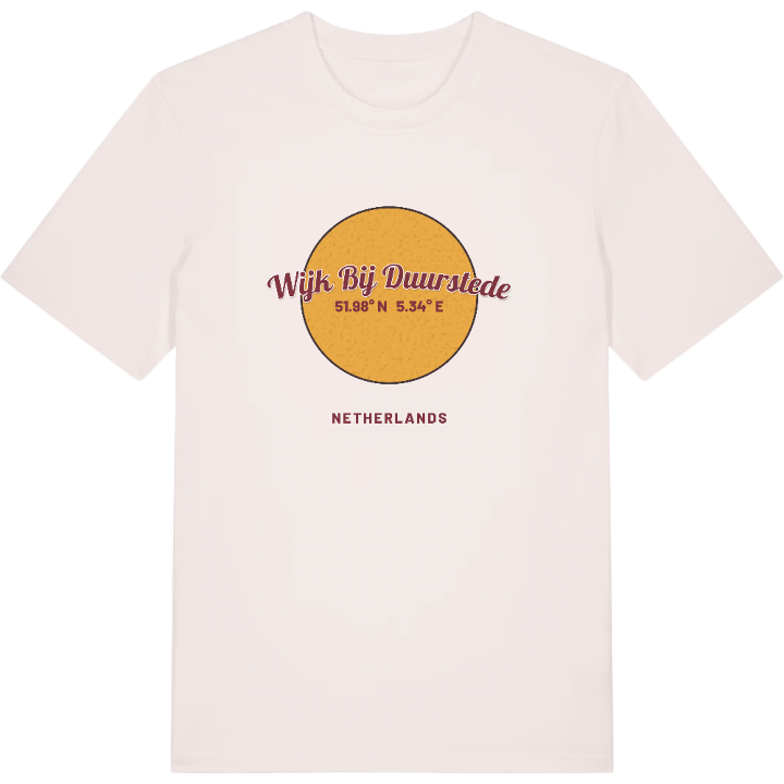
13 unique designs from the town of Wijk Bij Duurstede in Utrecht – map designs, local expressions and symbols only people who know the place will read. Also available as t-shirt, hoodie or tote bag.
T-shirt
from 249 SEK





Hoodie
from 499 SEK


Tote bag
from 129 SEK


About Wijk Bij Duurstede
Dorestad
Drive-through windmill
Kasteel Duurstede
Beneath Wijk bij Duurstede lies Dorestad, one of the great trading places of north-west Europe in Carolingian times, a Frisian settlement that was pillaged by Vikings around 850. Long before that, the northern frontier of the Roman Empire ran straight through the spot, and a Roman fort stood here on the Rhine. The town that followed received its city rights in 1300.
It also has the only drive-through windmill in the world, a mill you can pass beneath on the road. It is often confused with the mill in Ruisdael's famous painting, though that one has gone and only its foundations remain a couple of blocks away. On the market square stands a church tower with a flat roof: it was meant to rise higher than the Domtoren in Utrecht, but the bishop could not pay for a spire. Here the Kromme Rijn branches off and the main river carries on as the Lek, while Museum Dorestad shows what the ground has given up over the centuries.
Kasteel Duurstede, once home to the bishops of Utrecht, sits in its own park, and it is the one locals point to first: the castle that gave the town half its name, and a fine reason to carry this bend of the Rhine around with you.
Shown on the map
Location: Utrecht, Netherlands
Coordinates: 51.9752°N, 5.3374°E
