

Every design for Wassenaar
Wear your town with pride
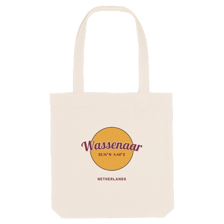
13 unique designs from the town of Wassenaar in Zuid-Holland – map designs, local expressions and symbols only people who know the place will read. Also available as t-shirt, hoodie or tote bag.
T-shirt
from 249 SEK


Hoodie
from 499 SEK


Tote bag
from 129 SEK


About Wassenaar
Country estates
Duinrell
Grass racecourse
Wassenaar lies between The Hague and Leiden, with wooded estates on one side and high dunes running down to the North Sea on the other. The Rijksstraatweg, the old army road laid out under Louis Bonaparte, still carries traffic through it.
What makes Wassenaar unlike anywhere else is how much of it is hidden behind trees. Around a small village centre lie villas and country houses, many of them former summer retreats of wealthy city families, now home to consulates and companies as well as residents. Wassenaar has the most expensive street in the country, the Konijnenlaan. On the estate of De Horsten the royal family lived in the villa Eikenhorst for years, and Princess Alexia was baptised in the Romanesque village church. The Duinrell estate became an amusement park, where children queue for the Rodelbaan Duinrell, and Duindigt is the last grass racecourse in the Netherlands. Everyday life still happens in the old centre, around the church and the seventeenth-century windmill Windlust, while De Paauw, the palace Prince Frederik had built, now serves as the town hall.
Out at the Wassenaarse Slag, the beach hides a stranger landmark: concrete remains of the Atlantic Wall, including the Bunkers Rijksdorp and almost a kilometre of tunnels linking five bunkers, now left to sleeping bats.
Shown on the map
Location: Zuid-Holland, Netherlands
Coordinates: 52.1428°N, 4.4011°E
