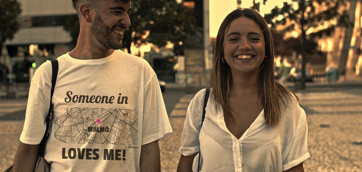
Every design for Vlijmen
Wear your town with pride
13 unique designs from the town of Vlijmen in Noord-Brabant – map designs, local expressions and symbols only people who know the place will read. Also available as t-shirt, hoodie, sweatshirt or tote bag.
T-shirt
from 249 SEK


Hoodie
from 449 SEKSweatshirt
from 449 SEKTote bag
from 129 SEKAbout Vlijmen
Basket weaving
Hop growing
The Langstraat
Vlijmen sits at the eastern end of the Langstraat, just west of 's-Hertogenbosch, on land the Meuse used to threaten. Until the Second World War, high water spilled south of the village as the Beerse Maas, and the medieval Heidijk still marks the line people built to hold it back.
Its position made Vlijmen an odd case on the map. Although it lies in Brabant, its lordship was sold to the Counts of Holland in the Middle Ages, and politically it belonged to Holland for centuries, while staying mostly Catholic. Its people raised sheep, then crops, and hops were their speciality. Baskets mattered even more: at one point most of the working population wove them for a living. The neo-Gothic Sint-Jan Geboortekerk rises over the village, and a medieval Protestant church survives as the original village church. Michael van Gerwen, the darts player, and the cyclist Lars Boom both come from here.
If you grew up in Vlijmen, the map is easy to read: the A59 where the Halve Zolen lijntje once ran, Vliedberg on its south side, the Plein in the middle, and Marienkroon among the names you never had to look up.
Shown on the map
Location: Noord-Brabant, Netherlands
Coordinates: 51.6943°N, 5.2091°E