

Every design for Varkaus
Wear your town with pride
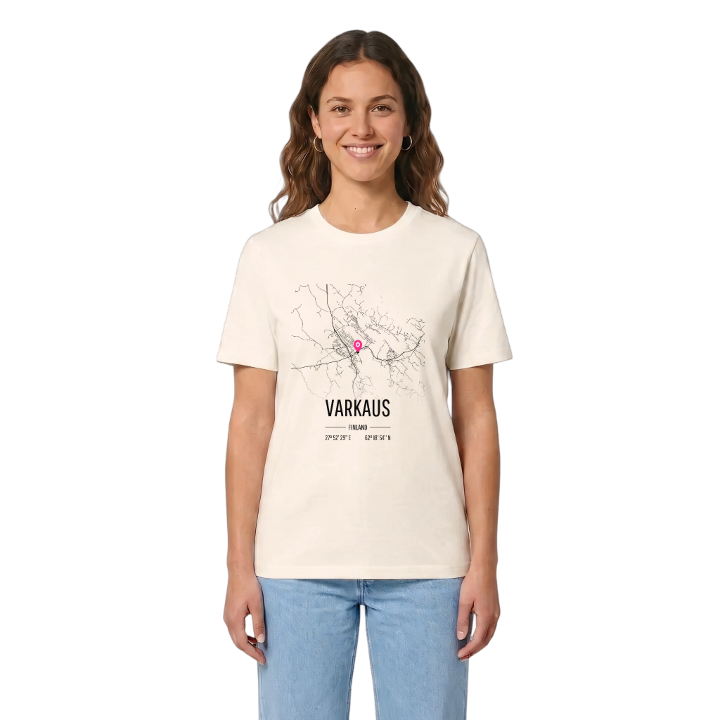
13 unique designs from the town of Varkaus in Pohjois-Savo – map designs, local expressions and symbols only people who know the place will read. Also available as t-shirt, hoodie or tote bag.
T-shirt
from 249 SEK



Hoodie
from 499 SEK


Tote bag
from 129 SEK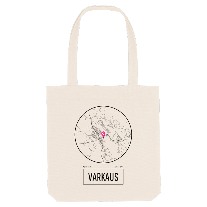


About Varkaus
Paper mills
Taipale Canal
Bandy
Varkaus is a mill town, and it was planned as one from the start. When A. Ahlström took over the old ironworks, Walter Ahlström set out to build a whole community around industry, and the architect brothers Ivar and Valter Thomé drew it: mills by the Huruskoski rapids and on Pirtinniemi, offices and services on Päiviönsaari, homes in Kommila and Kosulanniemi, all tied together by the tree-lined boulevard of Ahlströminkatu. Stora Enso, Sumitomo SHI FW and Andritz still work here, and the local paper keeps the old spelling, Warkauden Lehti. Winters belong to bandy, where WP-35 has been Finnish champion again and again.
The town sits on straits between two parts of Lake Saimaa, between Kuopio and Savonlinna, and an extension of the Saimaa Canal runs through it. Taipaleen kanavamuseo tells the story of the Taipale Canal, the first lock canal built in Finland, which opened the Leppävirta route to Saimaa's waterways. Long before the mills, Varkaus was a naval base, and the name Laivalinna lives on in a street.
If you grew up in the shadow of the mill or learned to skate on bandy ice, look for your own Varkaus here, from Mekaanisen Musiikin Museo to the nesting cranes of Kurjet pesällä.
Shown on the map
Location: Pohjois-Savo, Finland
Coordinates: 62.3152°N, 27.8748°E
