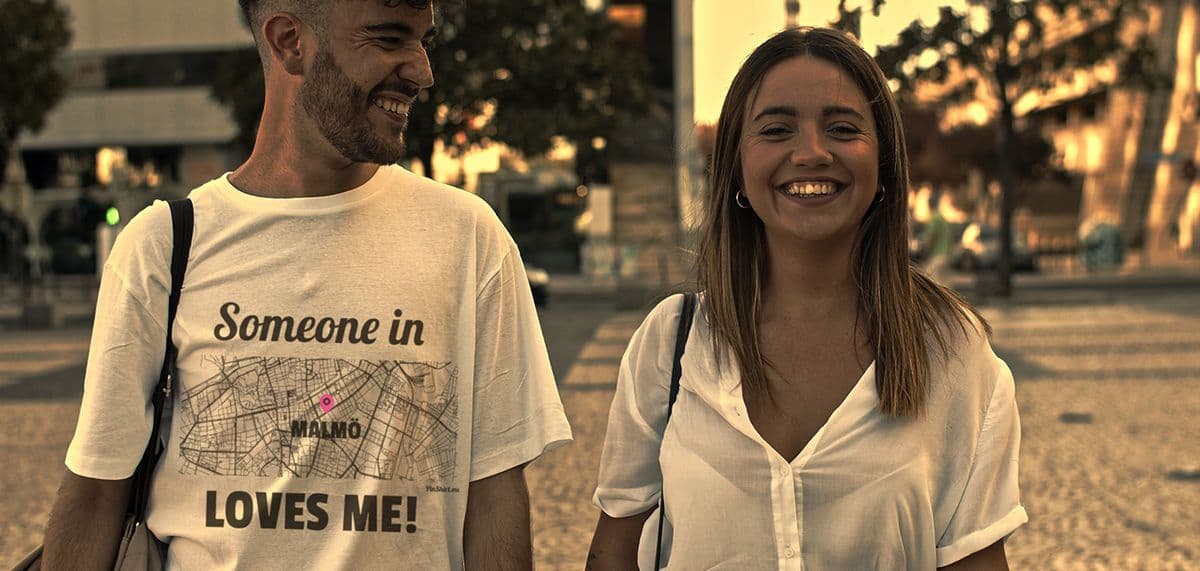
Every design for Vaassen
Wear your town with pride
13 unique designs from the town of Vaassen in Gelderland – map designs, local expressions and symbols only people who know the place will read. Also available as t-shirt, hoodie, sweatshirt or tote bag.
T-shirt
from 249 SEK


Hoodie
from 449 SEKSweatshirt
from 449 SEKTote bag
from 129 SEKAbout Vaassen
Kasteel Cannenburch
Celtic fields
Veluwe edge
Vaassen is known first and foremost for Kasteel Cannenburch, the sixteenth-century castle once home to the Guelders commander Maarten van Rossum. The village lies in the municipality of Epe, on the eastern edge of the Veluwe between Apeldoorn and Zwolle, and its name goes back to Fasna, an old word for a rough kind of grass.
The castle sets the tone for daily life. Families stroll through Park Cannenburch and the woods of Landgoed de Cannenburch, and the Cannenburger watermill turns on one of the brooks, and the Nijmolense Beek and the Smallertse Beek wind through the surroundings. In the centre, Daams' Mill had to be lifted almost five metres to keep its wind as the village grew around it. Vaassen has long been a place where Protestant and Catholic neighbours lived side by side, and a large Moluccan community has called it home since the nineteen-fifties. To the north-west lie Iron Age Celtic fields, small square plots edged with earth banks, and Vaassen Historie keeps track of the village's many layers.
The old railway station on the Baron line closed long ago, but the building still stands, lived in now, a quiet reminder of the trains that once ran between Apeldoorn and Zwolle.
Shown on the map
Location: Gelderland, Netherlands
Coordinates: 52.2902°N, 5.9687°E