

Every design for Trento
The big city that shaped you
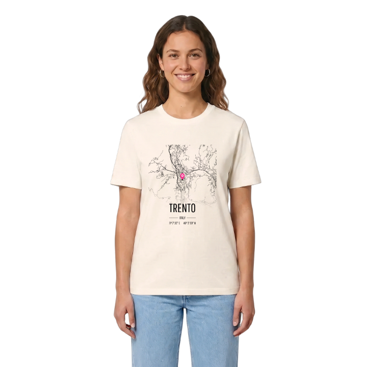
13 unique designs from the city of Trento in Trentino-Alto Adige/Südtirol – map designs, local expressions and symbols only people who know the place will read. Also available as t-shirt, hoodie or tote bag.
T-shirt
from 249 SEK



Hoodie
from 499 SEK


Tote bag
from 129 SEK


About Trento
Council of Trent
Monte Bondone
Castello del Buonconsiglio
From the steps of the Cattedrale di San Vigilio you can see the mountains close in on every side of Trento: the Paganella to the north-west, Monte Calisio to the north-east, the Marzola to the east, the Vigolana to the south-east and, to the west, Monte Bondone, which people here call the Alpe di Trento. The city lies in the valley of the Adige, between Bolzano and Verona, capital of its autonomous province.
The Castello del Buonconsiglio is the other fixed point of an old town full of medieval and Renaissance buildings. Yet Trento is more than its centre. Much of the commune is forest, and its people live in a scatter of suburbs and villages that keep their own identity — Gardolo on the valley floor to the north, Sardagna on a rocky ledge to the west, linked to the valley by a small cable car, and the villages of the Bondone higher still.
For anyone who grew up here, the map is the walk from the Fontana del Nettuno to the castle, the cable car up to Sardagna, and the Bondone road on the first snowy weekend.
Shown on the map
Location: Trentino-Alto Adige/Südtirol, Italy
Coordinates: 46.0664°N, 11.1258°E
