

Every design for Stryn
Small village, big feelings
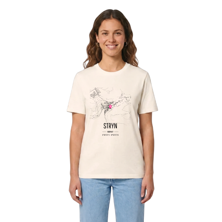
13 unique designs from the village of Stryn – map designs, local expressions and symbols only people who know the place will read. Also available as t-shirt, hoodie or tote bag.
T-shirt
from 249 SEK



Hoodie
from 499 SEK


Tote bag
from 129 SEK


About Stryn
Stryneelva river
Nordfjord crossroads
Mild climate
Stryn sits at the mouth of the river Stryneelva, on a small bay off the Nordfjorden, and its weather station stands higher up than the village, so the village itself is a little warmer than the official readings suggest. The village is the administrative centre of Stryn Municipality and its largest settlement, home to the municipal administration, a school and the commercial centre.
What makes Stryn its own place is the crossroads. Norwegian National Road 15 and County Road 60 meet here, making the village a hub for the whole of Inner Nordfjord, and the village of Nedstryn lies just to the east. The climate is milder than the latitude would suggest, thanks to the Gulf Stream, and the mountain Årheimsfjellet rises nearby.
Picture the Stryneelva running its last stretch through the village and out into the bay, with the two main roads crossing just above it.
Shown on the map
Location: Norway
Coordinates: 61.9043°N, 6.7236°E
