

Every design for Støvring
Wear your town with pride
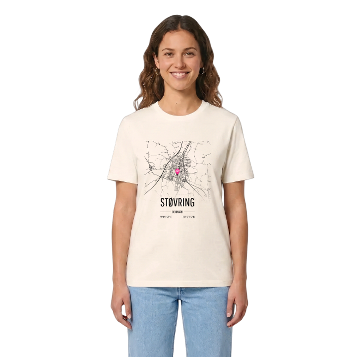
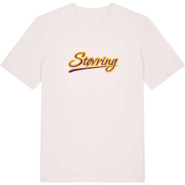
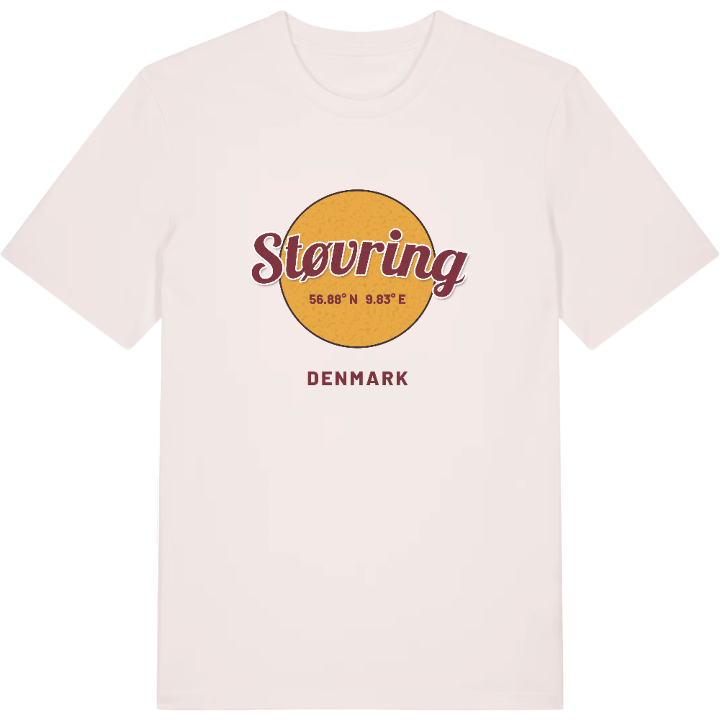
13 unique designs from the town of Støvring in Region Nordjylland – map designs, local expressions and symbols only people who know the place will read. Also available as t-shirt, hoodie or tote bag.
T-shirt
from 249 SEK





Hoodie
from 499 SEK


Tote bag
from 129 SEK




About Støvring
Football talent
Commuter rail
Rold Skov
Støvring is known across Nordjylland for football: Støvring IF has long been one of the clubs that sends young players on to AaB, and its youth teams play in the strongest leagues in the region. Beyond the pitch, this is the largest town in Rebild Kommune, a station town in Himmerland and a centre of industry and shopping for the area. The original station closed, then reopened as part of the Aalborg commuter rail, so Aalborg is once again a short train ride away. Two schools, Bavnebakkeskolen and Karensmindeskolen, and Støvring Gymnasium shape the rhythm of the week, and Kulturhuset Stubhuset brings concerts from all over the country.
Cirkelskoven gives the town a patch of woodland of its own, and Egholm voldsted, the mound of an old fortification, is a reminder of a much older history. Excavations north of Grævlingen turned up two large houses from the end of the Stone Age, and Rold Skov, one of the nationally known sights of the area along with Rebild Bakker, lies a few kilometres south of town.
If you grew up between the station, the football pitches and the edge of the forest, the map of Støvring is the map of your childhood.
Shown on the map
Location: Region Nordjylland, Denmark
Coordinates: 56.8847°N, 9.8331°E
