

Every design for Stargard
Wear your town with pride
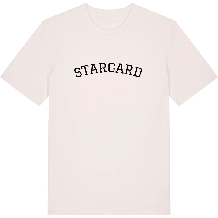
13 unique designs from the town of Stargard in Województwo Zachodniopomorskie – map designs, local expressions and symbols only people who know the place will read. Also available as t-shirt, hoodie or tote bag.
T-shirt
from 249 SEK


Hoodie
from 499 SEK


Tote bag
from 129 SEK


About Stargard
medieval walls
Ina river
drumlin landscape
The fifteenth meridian east runs through the western part of Stargard, and the land around the town was shaped by the Scandinavian ice sheet, which left behind a field of more than two thousand drumlin hills along with peat bogs by the river and long, gentle slopes.
The town sits on the Ina, east of Lake Miedwie, where the Szczecin Lowland meets the Pomeranian Lakeland, and that meeting point gives the countryside its mix of landscapes. The same position made it a crossroads. Medieval trade routes met here, the Hanseatic town kept a port at the mouth of the Ina, and today Stargard is a railway junction where the line south from Szczecin splits towards Poznań and Gdańsk. Its name means simply 'old town' in Pomeranian, and it has earned it: this is one of the oldest towns in Poland.
Of all its medieval gates and towers, the Brama Młyńska is the one to look for, alongside the Baszta Morze Czerwone – proof that this town has stood over its river for centuries.
Shown on the map
Location: Województwo Zachodniopomorskie, Poland
Coordinates: 53.3380°N, 15.0350°E
