

Every design for Slagelse
Wear your town with pride
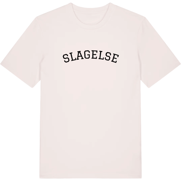
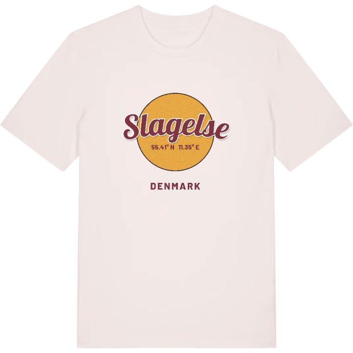
13 unique designs from the town of Slagelse in Region Sjælland – map designs, local expressions and symbols only people who know the place will read. Also available as t-shirt, hoodie or tote bag.
T-shirt
from 249 SEK


Hoodie
from 499 SEK




Tote bag
from 129 SEK




About Slagelse
Trelleborg fortress
Antvorskov ruins
Guard hussars
Slagelse is known for history on a grand scale: Trelleborg, the Viking ring fortress King Harald Bluetooth built just outside town, and the ruins of Antvorskov Kloster, the first monastery of the Knights Hospitaller in Denmark. In the centre, Sankt Mikkels Kirke ranks among the oldest brick churches in the country, and Gardehusarregimentet, the guard hussars, keep their barracks on the south-eastern side of town.
Slagelse lies in the south-western part of Zealand, between Korsør, Skælskør and Sorø, and the old road from Copenhagen to Korsør once ran straight through it. That position made it the shopping town for a wide hinterland, with pedestrian streets and Vestsjællandscentret drawing people in from the countryside. Slagelse Lystanlæg, the central park, has lakes, playgrounds and a maze, and H. C. Andersen went to school here.
Look at the map and you can trace the route from Antvorskov Kloster to the park and on to Gammeltorv – the streets you walked to school, to the shops and home again.
Shown on the map
Location: Region Sjælland, Denmark
Coordinates: 55.4061°N, 11.3525°E
