

Every design for Skanderborg
Wear your town with pride
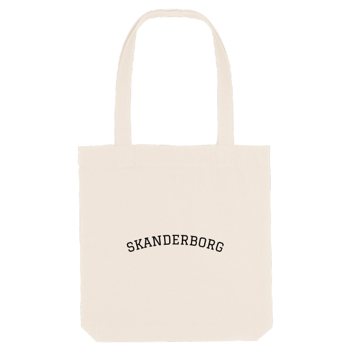
13 unique designs from the town of Skanderborg in Region Midtjylland – map designs, local expressions and symbols only people who know the place will read. Also available as t-shirt, hoodie or tote bag.
T-shirt
from 249 SEK


Hoodie
from 499 SEK


Tote bag
from 129 SEK



About Skanderborg
Skanderborg Lake
Skanderborg Festival
Royal castle
Out in the middle of Skanderborg Lake lies the islet of Kalvø, where monks once founded a monastery and later gave up, cut off from the shore for days and weeks whenever the weather turned harsh. The town spreads along the lake's northern and north-eastern edges, with smaller waters tucked in among its streets: Lillesø, Sortesø, Døj Sø and the boggy ground of Eskebæk Mose.
Skanderborg sits in the hilly country of East Jutland, south-west of Aarhus, with the beech woods running down to the water. Just north of town, across the motorway, lies Illerup Ådal, a valley of great archaeological importance, and to the south-west rises Ejer Bavnehøj, one of the highest natural points in Denmark. Every August the woods by the lake fill up for Skanderborg Festival, while Skanderborg Bunkerne and Vestermølle Museum keep other chapters of the town's story.
Long before any of that, Skanderborg Castle stood here as a royal residence, until it was taken down stone by stone. If you grew up here, the map holds the lakes you walked around, the streets up from the station and the beech woods where every summer ended with the festival.
Shown on the map
Location: Region Midtjylland, Denmark
Coordinates: 56.0352°N, 9.9318°E
