

Every design for Setermoen
Small village, big feelings
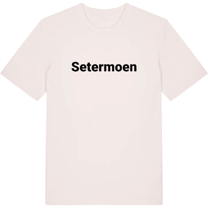
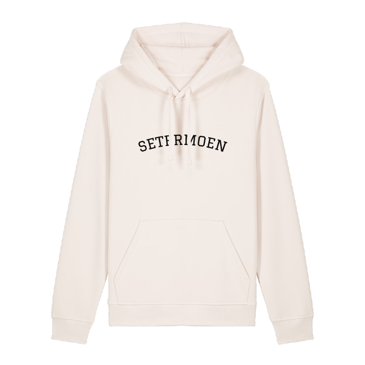
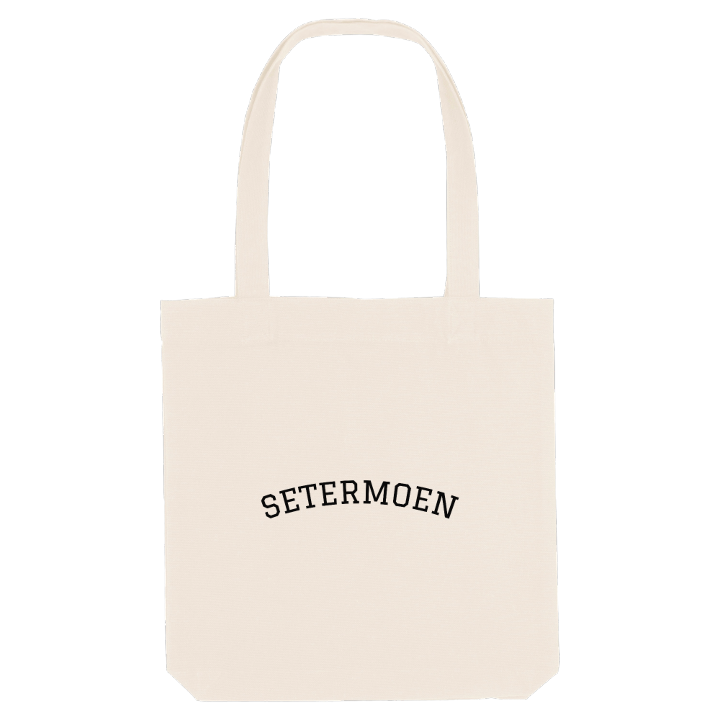
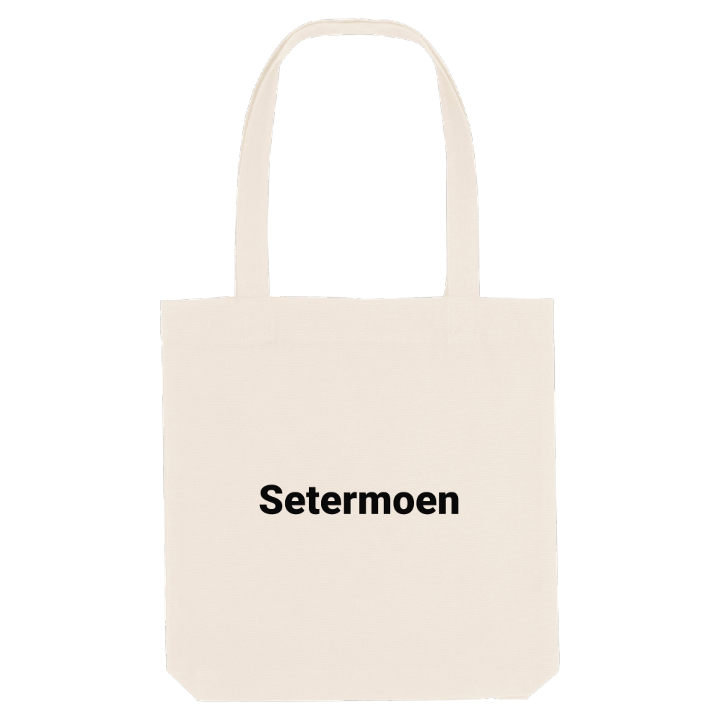
13 unique designs from the village of Setermoen – map designs, local expressions and symbols only people who know the place will read. Also available as t-shirt, hoodie or tote bag.
T-shirt
from 249 SEK




Hoodie
from 499 SEK


Tote bag
from 129 SEK



About Setermoen
Army garrison
Military museum
Bardu Church
Bardu Church stands in Setermoen as a smaller copy of the church at Tynset, in Østerdalen. The first settlers in Bardu came from that valley and built it to remember the place they had left, and to this day many people in the district speak southern Norwegian dialects, a long way from where those dialects began.
Troms Forsvarsmuseum tells the other half of Setermoen's story. Military training began here in 1898, chosen for its strategic place in the midst of the mountains, and Setermoen Camp is now one of the oldest army camps in Norway and the largest garrison in the country, home to battalions of Brigade Nord. The Armed Forces have shaped the community ever since, and a major rebuilding of the camp began in 2007.
The village lies along the river Barduelva, on the shore of Sætervatnet in the middle of the Bardudalen valley, with the E6 running straight through it. In 1999 the municipality declared Setermoen a town, though the government turned the claim down. Town or village, Prolog Park, the water at Stillelva and the road through the valley are what home looks like here.
Shown on the map
Location: Norway
Coordinates: 68.8609°N, 18.3482°E
