

Every design for Sète
Wear your town with pride
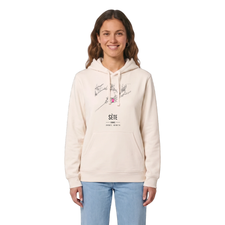
13 unique designs from the town of Sète in Occitanie – map designs, local expressions and symbols only people who know the place will read. Also available as t-shirt, hoodie or tote bag.
T-shirt
from 249 SEK


Hoodie
from 499 SEK




Tote bag
from 129 SEK


About Sète
Étang de Thau
canals
Georges Brassens
Have you ever seen a town that is almost an island? Sète clings to the slopes of the Mont Saint-Clair, with the Mediterranean on one side and the Étang de Thau, an enclosed saltwater lagoon farmed for oysters and mussels, on the other. Canals cut through the centre, linking lagoon and sea, which is why the town is called the Venice of Languedoc.
That position shapes everything. A long sandy spit runs west towards Marseillan, carrying the beach, the road and the railway between water and water. Climb the Mont Saint-Clair and the whole place lies below you: the fishing boats in the Port de Sète, the Phare Saint-Louis at the end of the pier, the coves of the Crique de la Nau and the Plage de la Vigie along the corniche. Paul Valéry called it the singular island, and it has its own dialect, cuisine and traditions to prove it. Valéry, Georges Brassens and Jean Vilar were all born here.
If you learned to swim off the corniche or grew up with the smell of the lagoon, take Sète with you.
Shown on the map
Location: Occitanie, France
Coordinates: 43.4014°N, 3.6960°E
