

Every design for Saint-Priest
Wear your town with pride
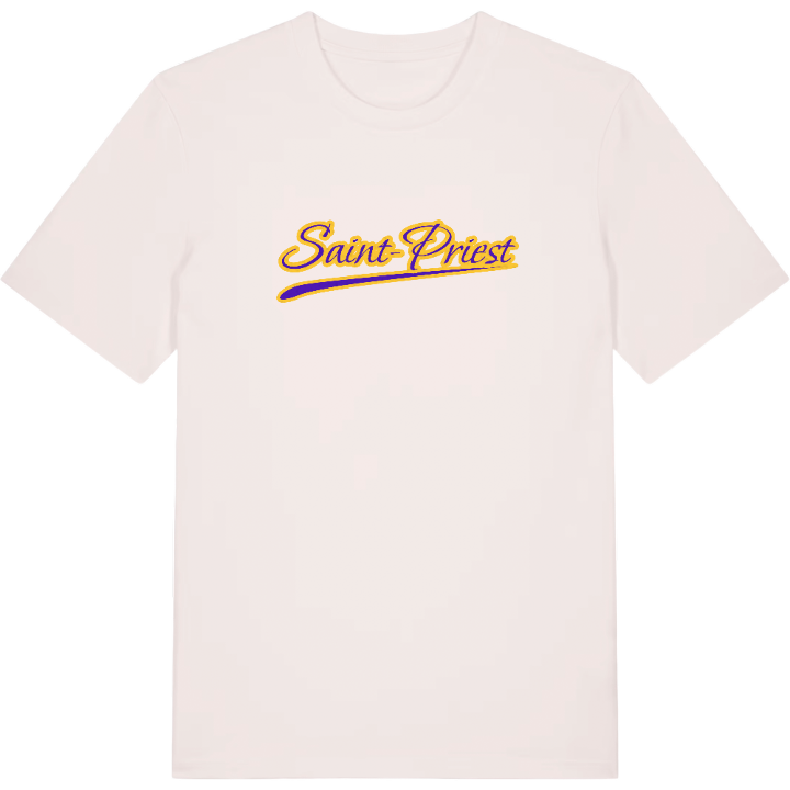
13 unique designs from the town of Saint-Priest in Auvergne-Rhône-Alpes – map designs, local expressions and symbols only people who know the place will read. Also available as t-shirt, hoodie or tote bag.
T-shirt
from 249 SEK




Hoodie
from 499 SEK


Tote bag
from 129 SEK




About Saint-Priest
Lyon suburb
technology park
open countryside
Ever noticed how quickly the city gives way to fields once you reach Saint-Priest? This suburb on the south-east side of Lyon sits right on the line between the urban sprawl of the metropolis and the farmland of the Rhône and Isère countryside, and daily life here moves between the two. Local trains run from Saint-Priest station into Lyon, the technology park and business zones keep the town busy through the week, and open ground is never far away.
Its most unusual feature is its sheer size. After Lyon itself, no commune in the metropolis covers more ground, and that space shows: meadows and fields still break up the housing. No river crosses the town, yet beneath it lie large groundwater reserves of good quality, and deeper still, its eastern part sits on the coal basin of the Bas Dauphiné. The Château de Saint-Priest and the Parc du Château mark the old heart of the town, the Fort de Saint-Priest and the Parc Nelson Mandela add more history and more green, and a street mural, the Fresque des Roses - St Priest, brings colour to an everyday walk.
The footballers Estelle Cascarino and Ève Périsset both come from Saint-Priest. For everyone who started out here too, it is simply home.
Shown on the map
Location: Auvergne-Rhône-Alpes, France
Coordinates: 45.6965°N, 4.9442°E
