

Every design for Saint-Herblain
Wear your town with pride
13 unique designs from the town of Saint-Herblain in Pays De La Loire – map designs, local expressions and symbols only people who know the place will read. Also available as t-shirt, hoodie or tote bag.
T-shirt
from 249 SEK


Hoodie
from 499 SEK


Tote bag
from 129 SEK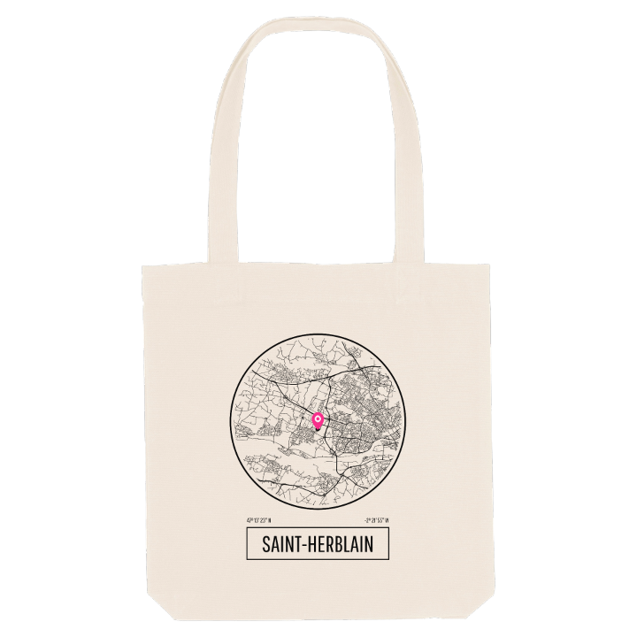


About Saint-Herblain
Loire riverside
Sillon de Bretagne
Nantes suburb
Saint-Herblain takes its name from Hermeland, a seventh-century abbot who served under the Frankish king Chlothar III, and its ground from the Sillon de Bretagne, a long granite ridge of the Armorican Massif whose crest runs across the north of the commune. People lived here in Neolithic times; many centuries later, well-off families from Nantes bought estates on this land to gain a noble title or a country retreat.
What sets Saint-Herblain apart is the speed of its transformation. It stayed a farming commune until the end of the 1950s, then grew almost overnight in the following decade into the largest suburb of Nantes, right against the city's western edge. The growing pains were real, but the town went on to build an economy that drives the whole area, and an identity of its own: the Breton-language Diwan school network opened a college here, the first in the area, and a concrete telecommunications tower now marks the skyline.
The older layer is still within reach. The Château de la Rivaudière and the Manoir de La Bégraisière recall those country estates, and the Parc de La Bourgonnière keeps a stretch of green between the housing. A shirt with Saint-Herblain on it carries both stories, the manor house and the boom town.
Shown on the map
Location: Pays De La Loire, France
Coordinates: 47.2233°N, -1.6347°E
