

Every design for Sætre
Small village, big feelings
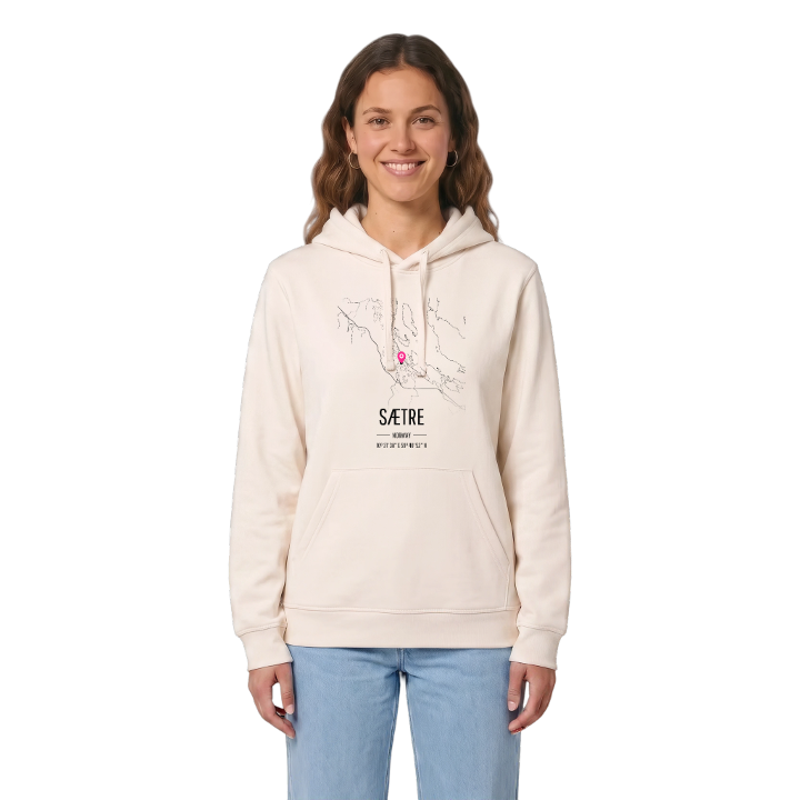
13 unique designs from the village of Sætre – map designs, local expressions and symbols only people who know the place will read. Also available as t-shirt, hoodie or tote bag.
T-shirt
from 249 SEK


Hoodie
from 499 SEK



Tote bag
from 129 SEK


About Sætre
Explosives factory
Sea trout
Hurumlandet
Did you grow up with the factory at Engene? Then you know Sætre as the explosives village. The plant was founded here on Hurumlandet after an earlier one at Lysaker blew up, both of them built by Alfred Nobel, and the village's working life turned on it until production stopped after the sale to Orica. The village lies on the western shore of the Inner Oslofjord, and its name comes from the Norse sétrar, places to settle.
For many, Sætre is the sound of the Sætreelva running down to Sætrepollen, where sea trout come in to spawn, and the wetland at Øra, so important for birds. The islets offshore are nesting grounds for seabirds, Sætre bystrand is the summer swim, and Egenekollen bygdeborg is a reminder of how long people have chosen this spot.
Sætre was the centre of Hurum until the municipality joined Asker, and whatever the map says now, this is where Hurumlandet comes home.
Shown on the map
Location: Norway
Coordinates: 59.6813°N, 10.5274°E
