

Every design for Ruokolahti
Wear your town with pride
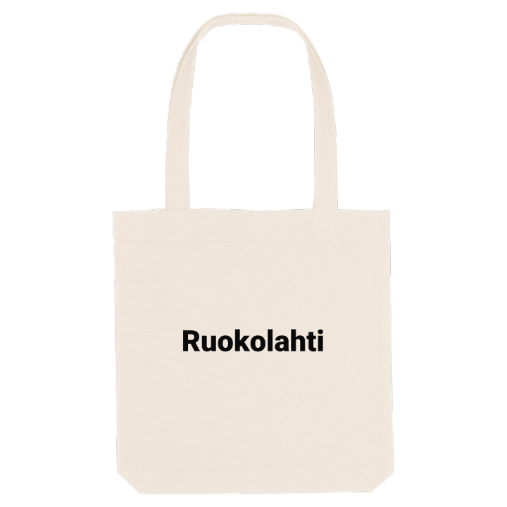
13 unique designs from the town of Ruokolahti in Etelä-Karjala – map designs, local expressions and symbols only people who know the place will read. Also available as t-shirt, hoodie or tote bag.
T-shirt
from 249 SEK


Hoodie
from 499 SEK


Tote bag
from 129 SEK




About Ruokolahti
Lake Saimaa
Kummakivi boulder
Deepest lake
Ruokolahti is known above all for its nature. The name means Reed Bay, reeds wave on the coat of arms, and the municipality in South Karelia is made of water as much as land, with Lake Saimaa filling the west and hundreds of smaller lakes in the east. On the northern border lies Suuri Jukajärvi, the deepest lake in Finland.
What sets the place apart are the oddities the landscape has left behind. Kummakivi, a huge boulder balanced on bedrock, is protected as a natural monument. The Salpausselkä ridges run through the area, Saimaa ringed seals have at times been seen between the ridge islands of Ilkonselkä, and from Haukkavuori, a famous viewpoint that once carried the mark of a national border, the forests and water stretch away in every direction. Huuhanranta beach on Saimaa has even been called the Saimaa Riviera. Bays such as Hovinlahti, Mörsinlahti and Haloniemenlahti fill the shoreline, and summer cottagers double the population every year.
History is never far off: Albert Edelfelt painted the women of Ruokolahti on the church hill, and Simo Häyhä lies in the churchyard. Trace the bays on the map and the summers spent growing up between them come straight back.
Shown on the map
Location: Etelä-Karjala, Finland
Coordinates: 61.2925°N, 28.8121°E
