

Every design for Rumia
Wear your town with pride
13 unique designs from the town of Rumia in Województwo Pomorskie – map designs, local expressions and symbols only people who know the place will read. Also available as t-shirt, hoodie or tote bag.
T-shirt
from 249 SEK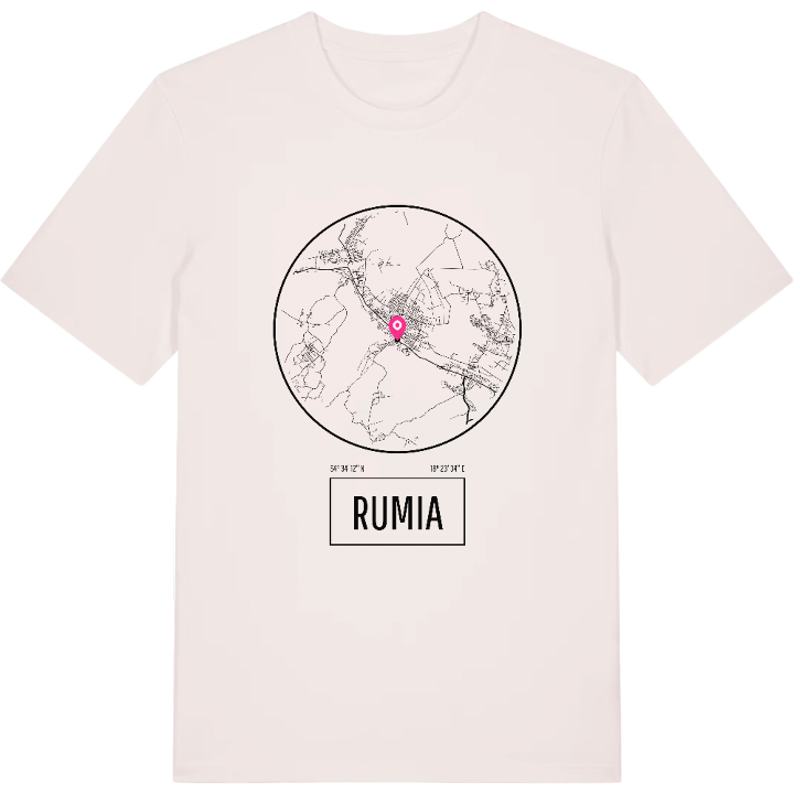


Hoodie
from 499 SEK


Tote bag
from 129 SEK


About Rumia
Kashubian Tricity
wooded hills
Góra Markowca
No town in Poland that is not the seat of a county is larger than Rumia, one third of the Kashubian Tricity it forms with Reda and Wejherowo. For centuries it was a church village belonging to the Cistercians of Oliwa, and it only became a town after the Second World War, stitched together from Rumia, Zagórze, Biała Rzeka, Szmelta and Janowo. Those old village names still live on as the neighbourhoods people give as their address.
The town lies where the Kashubian Lakeland meets the Kashubian ice-marginal valley, at the foot of the wooded hills of the Tricity Landscape Park, with the Zagórska Struga running through it. Good rail and road links make it a gateway to Gdynia and the wider Tricity on the coast of Gdańsk Bay. Góra Markowca rises above the streets, Eko Park offers green space closer in, and Ruiny kościoła Św. Krzyża keep a quieter piece of the past.
If you grew up between those hills and the railway line, you know exactly which way is home. Here it is, every street of it.
Shown on the map
Location: Województwo Pomorskie, Poland
Coordinates: 54.5701°N, 18.3927°E
