

Every design for Røyken
Small village, big feelings
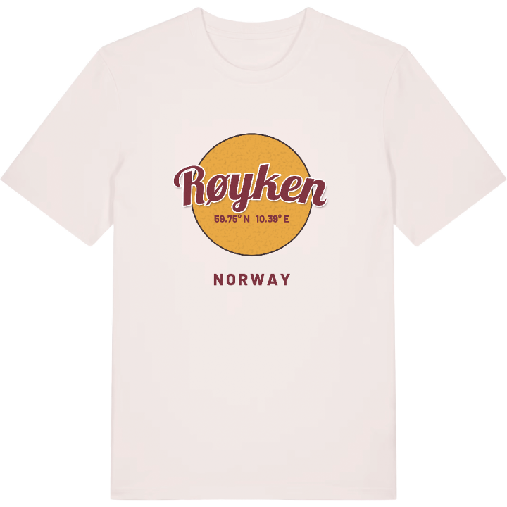
13 unique designs from the village of Røyken – map designs, local expressions and symbols only people who know the place will read. Also available as t-shirt, hoodie or tote bag.
T-shirt
from 249 SEK


Hoodie
from 499 SEK


Tote bag
from 129 SEK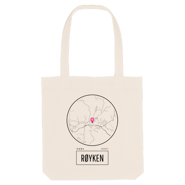




About Røyken
Medieval church
Spikkestadlinjen railway
Hurum peninsula
Røyken is known for a name almost everybody gets wrong. It sounds like røyken, the smoke, which is why the coat of arms shows a yellow fire on a blue field, yet the name comes from the old farm of Raukvin, a meadow by a mound or hill. The medieval Røyken Church, built where that farm stood, still stands in the village.
The village sits on the northern part of the Hurum peninsula, south of Lier and Asker, between the Oslofjord on one side and the Drammensfjord on the other. Together with Midtbygda it forms one built-up area, linked to Asker and Spikkestad by the Spikkestadlinjen railway from Røyken Station. Around it the land rises into hills and ridges with names such as Storåsen, Høgåsen, Huldreåsen and Gleinåsen, and the wider district is known for homes with views of the sea. Oslo's air traffic control centre for eastern Norway also works from here, keeping watch over the skies above Østlandet.
At the heart of it all is the old church at the centre of the village, with a baptismal font that is held to be older still than the church itself.
Shown on the map
Location: Norway
Coordinates: 59.7468°N, 10.3938°E
