

Every design for Rotnes
Small village, big feelings
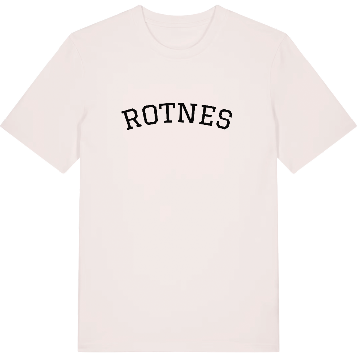
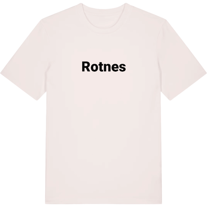
13 unique designs from the village of Rotnes – map designs, local expressions and symbols only people who know the place will read. Also available as t-shirt, hoodie or tote bag.
T-shirt
from 249 SEK



Hoodie
from 499 SEK


Tote bag
from 129 SEK


About Rotnes
Gjøvik Line
River Nitelva
Mosenteret
The train pulls in at Nittedal Station on the Gjøvik Line, and you are in Rotnes, the administrative centre of Nittedal municipality, set along the river Nitelva and National Road 4. Local buses loop through the village to meet the trains, and Oslo S is half an hour away.
Mølleparken is a green pause in the middle of it all, and the hills are never far off, with Strømskollen and Linfåningshøgda among the nearby summits and Høldippelen for a summer swim. This is where Nittedal goes to school, from Rotnes barneskole and Sørli barneskole to Nittedal ungdomsskole and Bjertnes videregående skole, the only upper secondary school in the municipality. It is where people shop too, at Mosenteret beside the main road.
Rotnes is a place of everyday belonging, and its picture is made of ordinary things: the station platform, the river alongside National Road 4, and the morning bus that waits for the train.
Shown on the map
Location: Norway
Coordinates: 60.0583°N, 10.8676°E
