

Every design for Rødding
Wear your town with pride
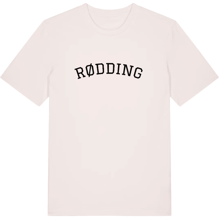
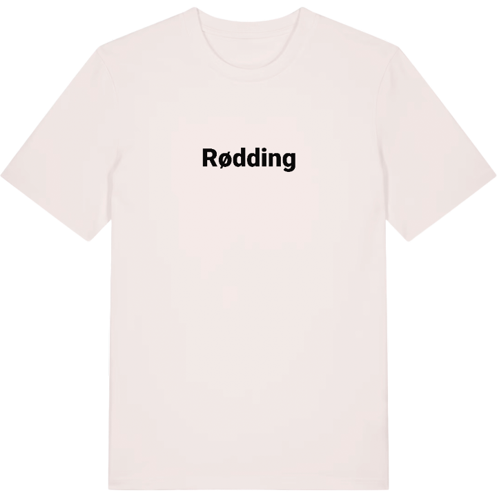
13 unique designs from the town of Rødding in Region Syddanmark – map designs, local expressions and symbols only people who know the place will read. Also available as t-shirt, hoodie or tote bag.
T-shirt
from 249 SEK



Hoodie
from 499 SEK


Tote bag
from 129 SEK


About Rødding
First folk high school
Free congregation
Reunification
In 1844 the world's first folk high school opened in Rødding, in a district judge's farmhouse with a large park, and the town has been a place of learning ever since. Rødding Højskole had to move north to Askov when the border shifted, but a new school later opened on the old grounds, and the park is still open to everyone.
Rødding Sognekirke has stood in the town since the Middle Ages, smaller and simpler than the churches of neighbouring towns because the district was poor. Nearby are Præstekilden and the ancient mound of Staghøj, and a Genforeningssten recalls 1920, when the region voted to rejoin Denmark after the decades of Prussian rule that followed the Battle of Dybbøl. Rødding Frimenighed, the first of the free congregations in South Jutland inspired by Grundtvig, built its own church close to the parish church.
Grow up here and you know the town by its daily round: the pool and cinema at Rødding Centret, the old savings bank headquarters drawn by Martin Nyrop, the inn that became Hotel Rødding. On the map, every one of those streets is one you have walked.
Shown on the map
Location: Region Syddanmark, Denmark
Coordinates: 55.3681°N, 9.0581°E
