

Every design for Reda
Wear your town with pride
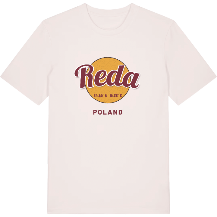
13 unique designs from the town of Reda in Województwo Pomorskie – map designs, local expressions and symbols only people who know the place will read. Also available as t-shirt, hoodie or tote bag.
T-shirt
from 249 SEK


Hoodie
from 499 SEK


Tote bag
from 129 SEK


About Reda
Little Kashubian Tricity
Reda river
Kashubian identity
Reda is best known as one of the three towns of the Little Kashubian Tricity, sitting between Wejherowo and Rumia on the river that gave it its name. It is a Kashubian town, Réda in the local language, and good railways and roads tie it to the larger Tricity on Gdańsk Bay.
The Grodzisko recalls how old this place really is. Slavic settlements stood in today's Ciechocino and Pieleszewo in the early Middle Ages, and a wooden church existed here as early as the twelfth century. Reda was a royal village of the Polish Crown, then spent nearly a century and a half under Prussia before returning to Poland. It became a town only after the Second World War, and its real growth came when housing was built for workers at the nuclear plant in Żarnowiec; within a couple of decades the population had more than tripled.
If you grew up here, you remember the trains, Orlęta Reda matches, and summer days in the Miejski Park Rodzinny w Redzie. This map holds all of it.
Shown on the map
Location: Województwo Pomorskie, Poland
Coordinates: 54.6043°N, 18.3505°E
