

Every design for Pulheim
Wear your town with pride
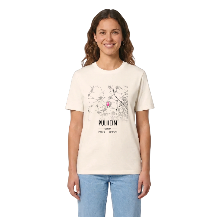
13 unique designs from the town of Pulheim in Nordrhein-Westfalen – map designs, local expressions and symbols only people who know the place will read. Also available as t-shirt, hoodie or tote bag.
T-shirt
from 249 SEK



Hoodie
from 499 SEK


Tote bag
from 129 SEK




About Pulheim
Große Laache wetland
Pulheimer See
RWE substation
Do you know which Pulheim you are from? Brauweiler, Stommeln, Geyen, Sinnersdorf or the centre itself: twelve quarters were brought together in the communal reform of 1975, and the new municipality was granted town rights in 1981. It lies on the left-bank side of the Cologne Bay, right against Cologne's north-western districts, in open farmland that climbs gently towards the Ville.
What sets Pulheim apart is quieter than a skyline. Blue stones set into the pavements of Pulheim, Sinthern and Geyen trace the Pulheimer Bach where it runs in pipes beneath the streets, and the stream finally sinks away into the Große Laache, a wetland left behind by an old loop of the Rhine. Since the 1920s the town has also been home to a large RWE substation at the end of the North–South Powerline, a slice of industrial history most visitors drive straight past.
Then there are the Junkerburg, the Barbara Kapelle and the woods of the Orrer Wald und Große Laache nature reserve. If you learnt to ride a bike along those paths, or still call the place Pullem, this one is for you.
Shown on the map
Location: Nordrhein-Westfalen, Germany
Coordinates: 50.9980°N, 6.8025°E
