

Every design for Parikkala
Wear your town with pride
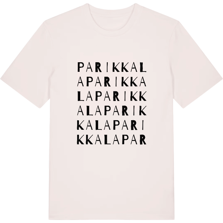
13 unique designs from the town of Parikkala in Etelä-Karjala – map designs, local expressions and symbols only people who know the place will read. Also available as t-shirt, hoodie or tote bag.
T-shirt
from 249 SEK








Hoodie
from 499 SEK





Tote bag
from 129 SEK






About Parikkala
Dairy heritage
Lake Simpelejärvi
Border history
Where do you head on a warm day when the lake is Simpelejärvi? If you grew up in Parikkala, you already know: down to Likolammen uimaranta for a swim, or out along the paths of Saharannan ulkoilualue.
Parikkala sits in the north-eastern tip of South Karelia, close to the Russian border, on the main railway line from Helsinki to Joensuu. The countryside rolls between the Salpausselkä ridges, all hills, eskers, fields and water, and most of it drains towards Lake Ladoga rather than Saimaa. Borders have shaped the place for centuries. After the Treaty of Nystad in 1721 it was the only present-day Finnish municipality left on the Russian side, and after the Second World War a third of its land was handed over to the Soviet Union. Saari and Uukuniemi joined it to form today's municipality, and the parish takes its name from a farmer called Parikka, on whose land the church was built.
Parikkalan Meijerimuseo recalls the dairies that once made the parish famous, and Piika-patsas, the maid statue, honours the hands that did the work. Wear the map, and you wear both.
Shown on the map
Location: Etelä-Karjala, Finland
Coordinates: 61.5580°N, 29.5014°E
