

Every design for Noisy-Le-Sec
Wear your town with pride
13 unique designs from the town of Noisy-Le-Sec in Île-De-France – map designs, local expressions and symbols only people who know the place will read. Also available as t-shirt, hoodie or tote bag.
T-shirt
from 249 SEK


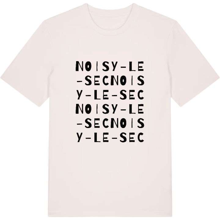
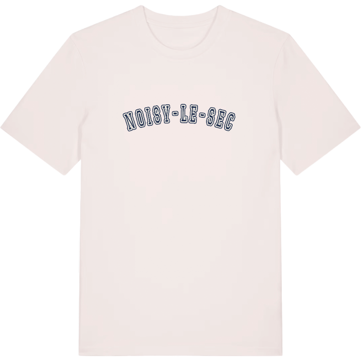


Hoodie
from 499 SEK


Tote bag
from 129 SEK


About Noisy-Le-Sec
Canal de l'Ourcq
RER E
post-war rebuilding
Few town names are as down to earth as Noisy-le-Sec's: Noisy comes from the Latin for a walnut grove, and le Sec, 'the dry', for the thin, less fertile soil the first farmers had to work. Today the town in the eastern suburbs of Paris is better known as a rail hub, with the RER E running straight into Paris-Est.
There is a quiet resilience to the place. In April 1944 an Allied air raid destroyed almost the whole town, and rebuilding took decades. Those who grew up here know the result: streets climbing the slopes of the plateau de Romainville, the Canal de l'Ourcq running along the northern edge, and neighbourhood squares such as Square Jean Jaurès and Square Rosa Parks where afternoons were spent. The Parc départemental de la Bergère opens up along the canal, and the Fort de Romainville keeps watch from the high ground.
For anyone who walked home from the station, cycled the canal towpath or looked out from the plateau, a map of Noisy-le-Sec traces those everyday routes, rebuilt and made their own.
Shown on the map
Location: Île-De-France, France
Coordinates: 48.8898°N, 2.4516°E
