

Every design for Nancy
The big city that shaped you
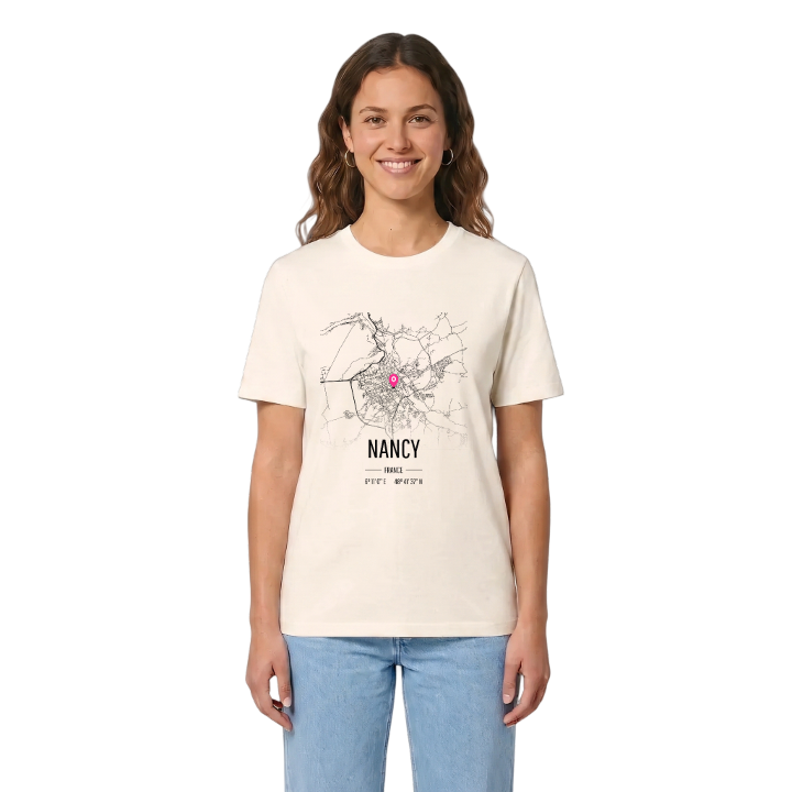
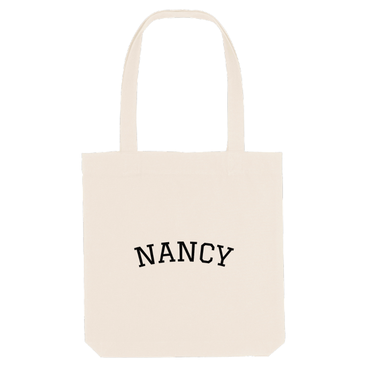
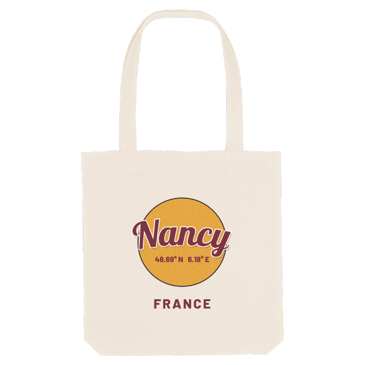
13 unique designs from the city of Nancy in Grand Est – map designs, local expressions and symbols only people who know the place will read. Also available as t-shirt, hoodie or tote bag.
T-shirt
from 249 SEK



Hoodie
from 499 SEK


Tote bag
from 129 SEK


About Nancy
Place Stanislas
Art Nouveau
École de Nancy
Through the Porte Stanislas, the eighteenth-century Ville-Neuve leads to the grand square named after Stanislaus I of Poland, built between 1752 and 1756 by Emmanuel Héré and now on the UNESCO World Heritage List. It is the moment every visitor remembers, and the one every local takes for granted.
Nancy sits on the left bank of the Meurthe, a few kilometres upstream of where it joins the Moselle, pressed between the Forêt de Haye to the west and the river to the east; that tight setting makes it one of the densest cities in France. Early settlers came for easily mined iron ore and a ford across the Meurthe, and the dukes of Lorraine made it their seat around the Ducal Palace in the Old Town. Later the École de Nancy filled the streets with Art Nouveau; the Villa Majorelle is one of its best-known houses, and the Musée Lorrain and the Musée des Beaux-Arts keep the city's treasures.
On the map, anyone who grew up here can trace the line from the old ducal town to the eighteenth-century squares, and on to the river beyond.
Shown on the map
Location: Grand Est, France
Coordinates: 48.6937°N, 6.1834°E
