

Every design for Moncalieri
Wear your town with pride
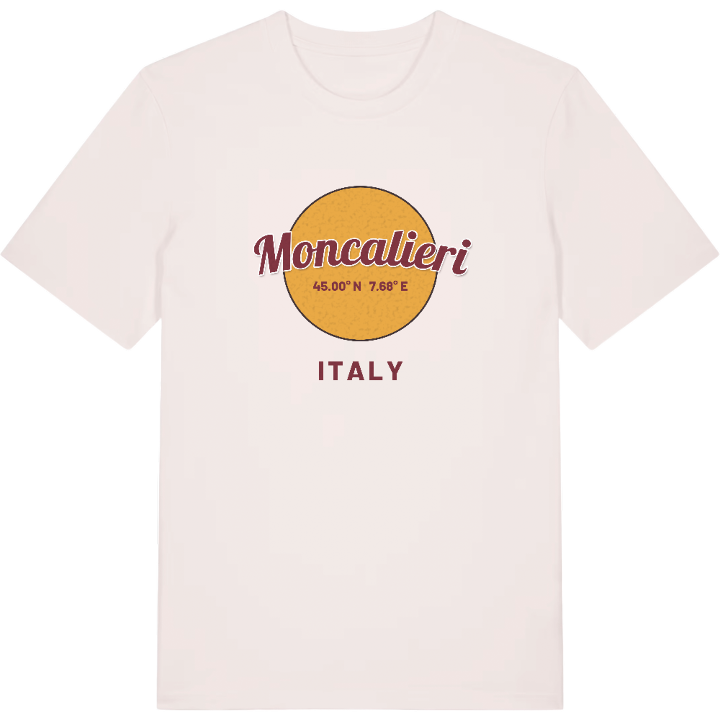
13 unique designs from the town of Moncalieri in Piemonte – map designs, local expressions and symbols only people who know the place will read. Also available as t-shirt, hoodie or tote bag.
T-shirt
from 249 SEK



Hoodie
from 499 SEK


Tote bag
from 129 SEK




About Moncalieri
Savoy castle
Proclamation of Moncalieri
River Po
The 45th parallel, the line halfway between the North Pole and the Equator, runs straight through the middle of Moncalieri. The town lies just south of Turin and is its most populous suburb, yet it has a landscape of its own: wooded hills above, the Po below.
Its position explains its story. Moncalieri was founded in 1228 by people from Testona seeking refuge, and grew thanks to the bridge over the Po that it controlled. The hillside rises to the Faro della Vittoria, the old town sits halfway up around the Castello di Moncalieri, a Savoy residence that became a favourite of King Victor Emmanuel II and is now part of a World Heritage Site. Down on the plain, the river is lined with green space: the Parco delle Vallere, where the Sangone flows into the Po, and the Parco Lungo Po Abellonio. On its own hill, the Castelvecchio di Testona still marks where the first settlers came from.
The castle still watches over the sloping Piazza Vittorio Emanuele II. Come back over the bridge, see its towers above the rooftops, and you know you are home.
Shown on the map
Location: Piemonte, Italy
Coordinates: 45.0005°N, 7.6848°E
